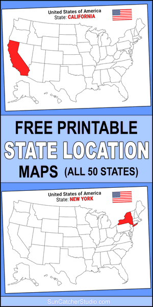
Free Printable USA State Location Maps (All 50 States)
Explore all 50 U.S. states with our collection of maps, each highlighting its location within the country. These visuals make it easy to see where every state sits in relation to the rest of the United States. For more ideas see patterns and USA Maps and USA States.
")
Free Printable U.S. State Location Maps (All 50 States)
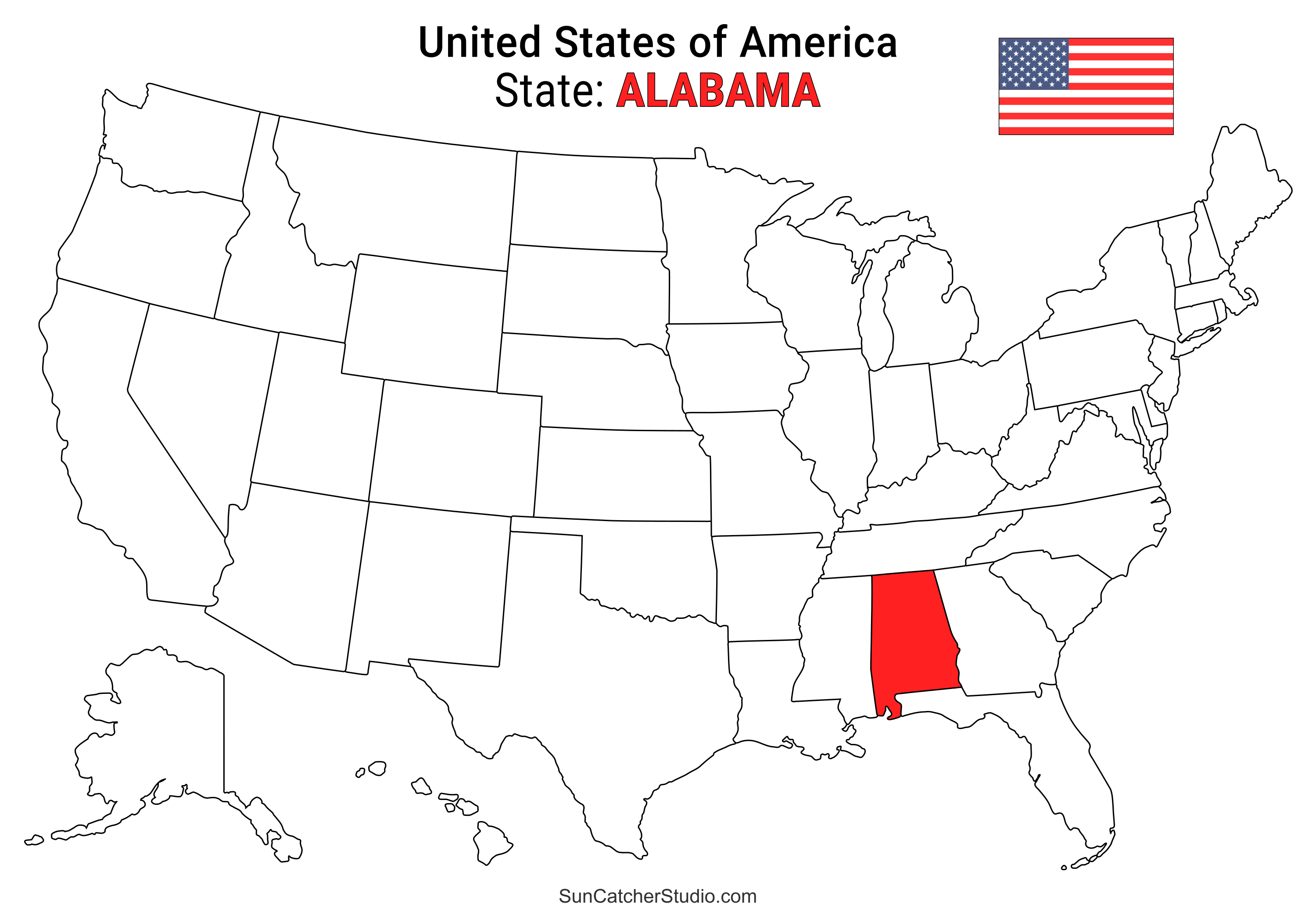
- Alabama Location
- ○ PDF format
- ○ PNG format
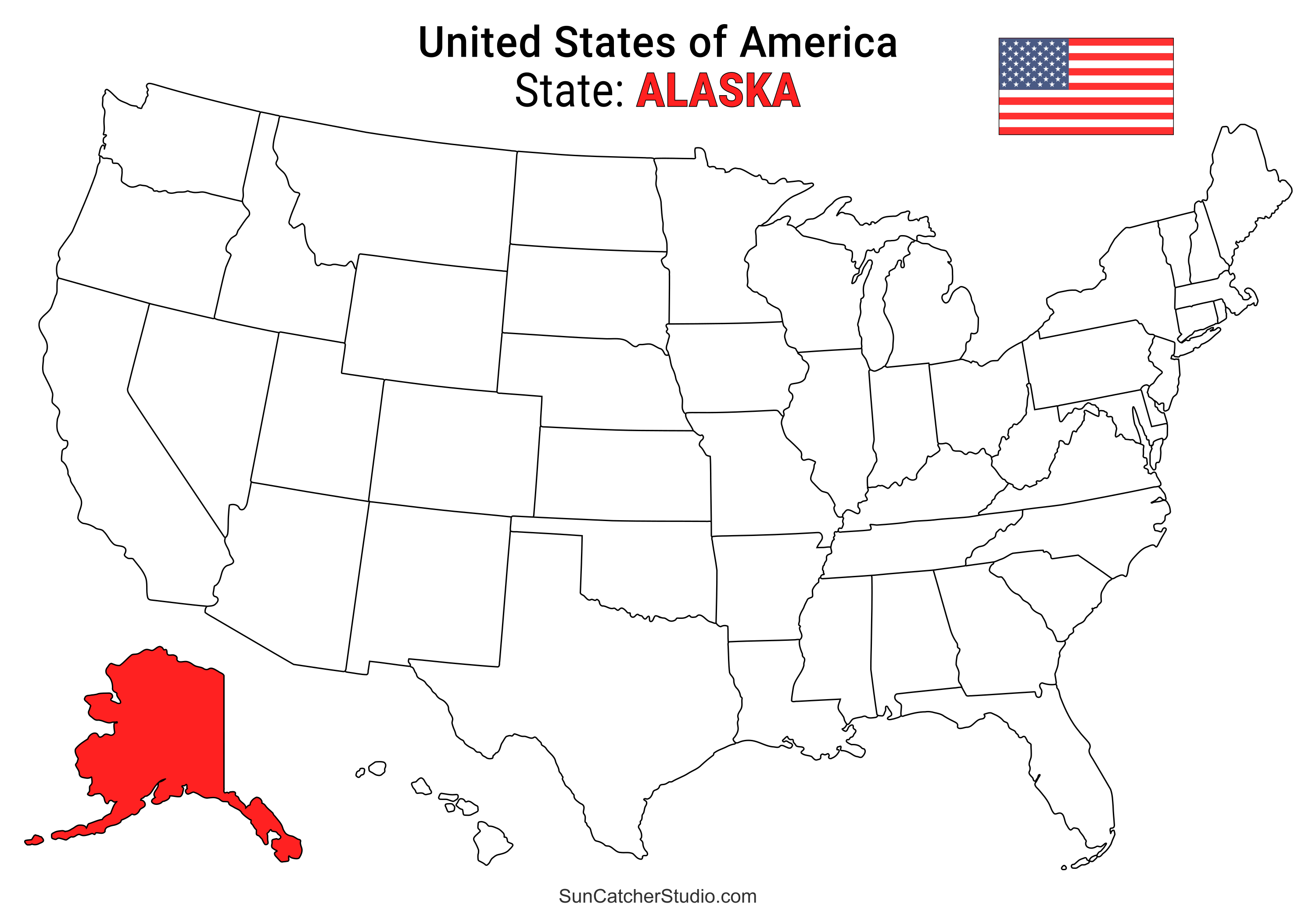
- Alaska Location
- ○ PDF format
- ○ PNG format
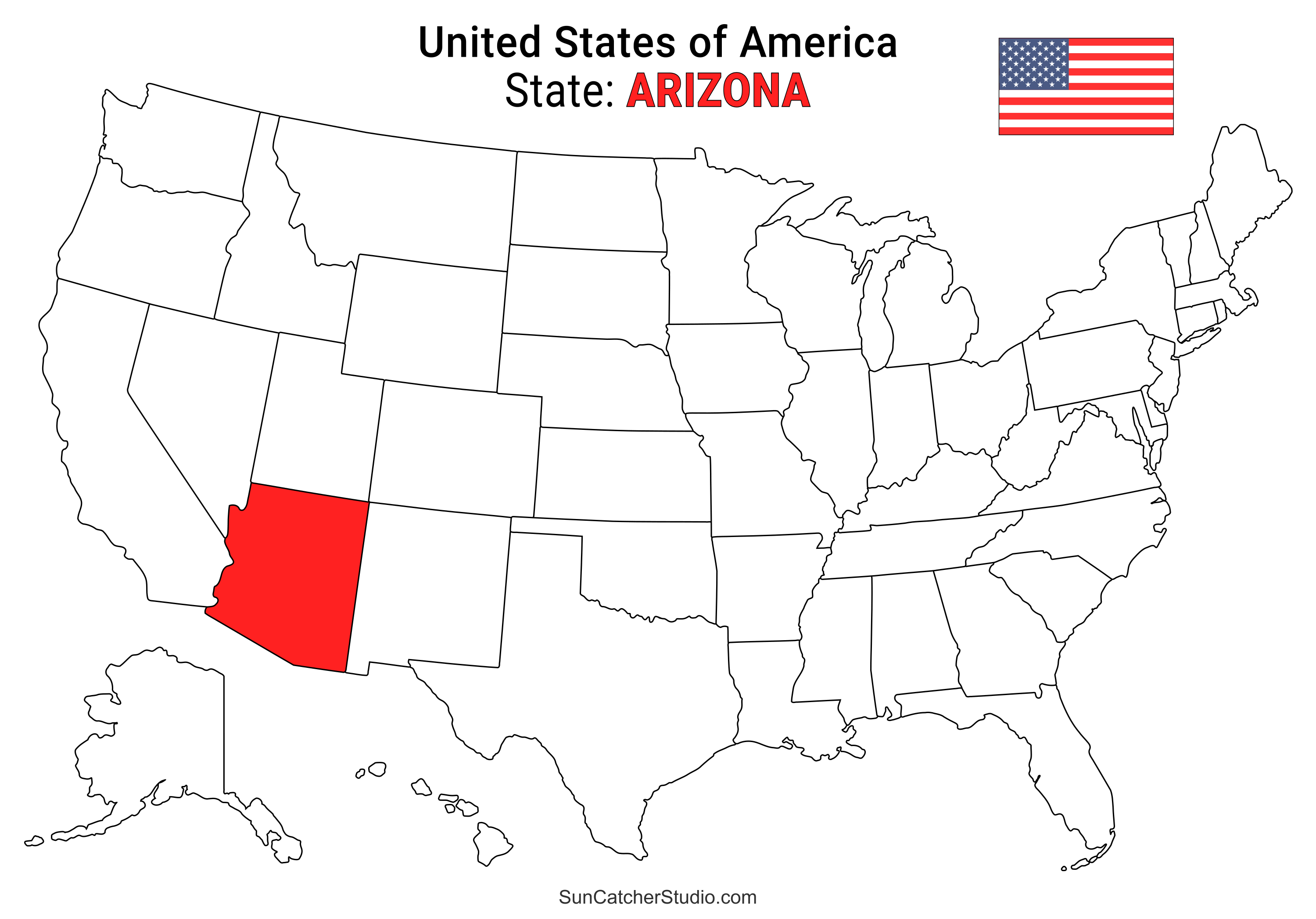
- Arizona Location
- ○ PDF format
- ○ PNG format
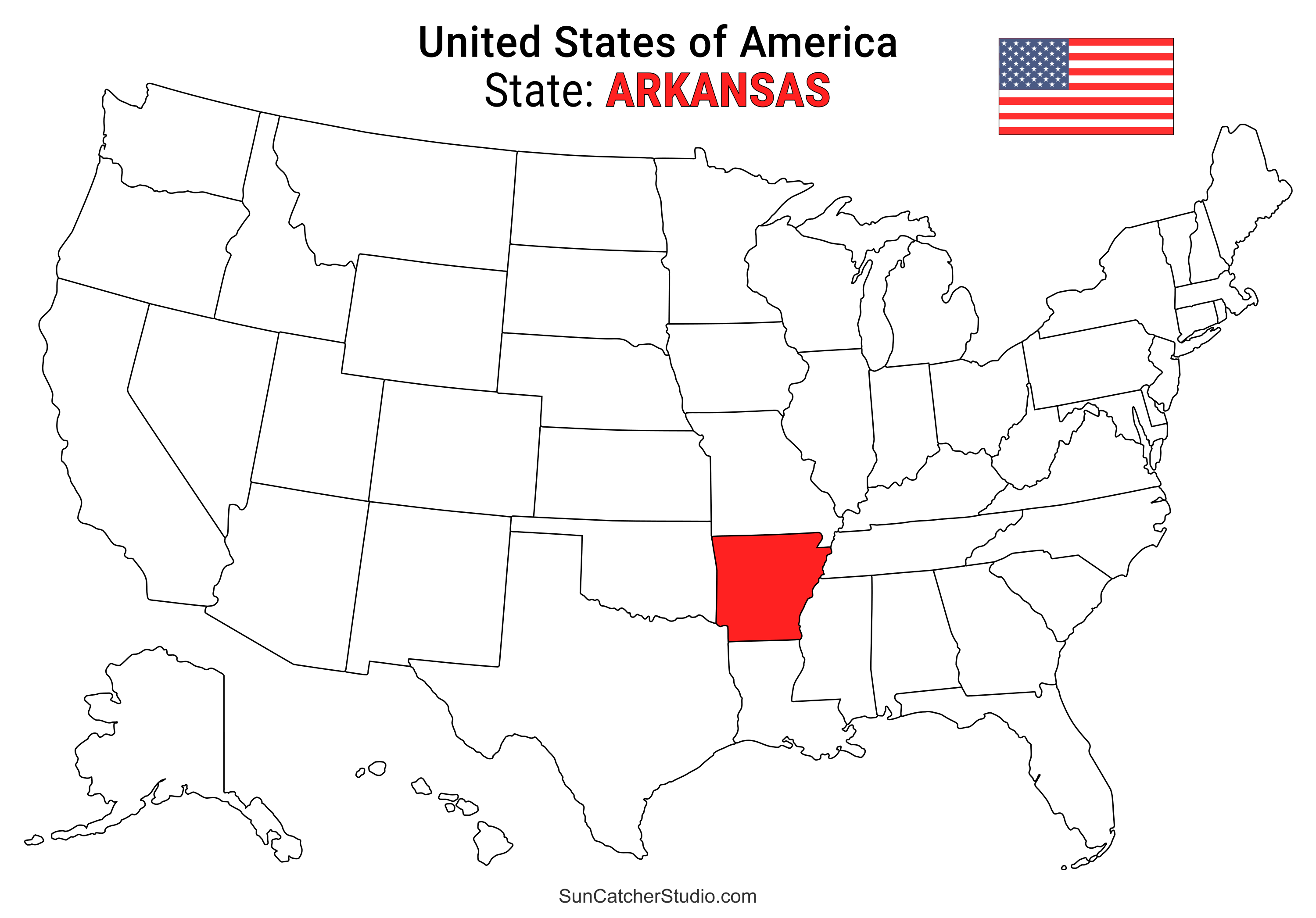
- Arkansas Location
- ○ PDF format
- ○ PNG format
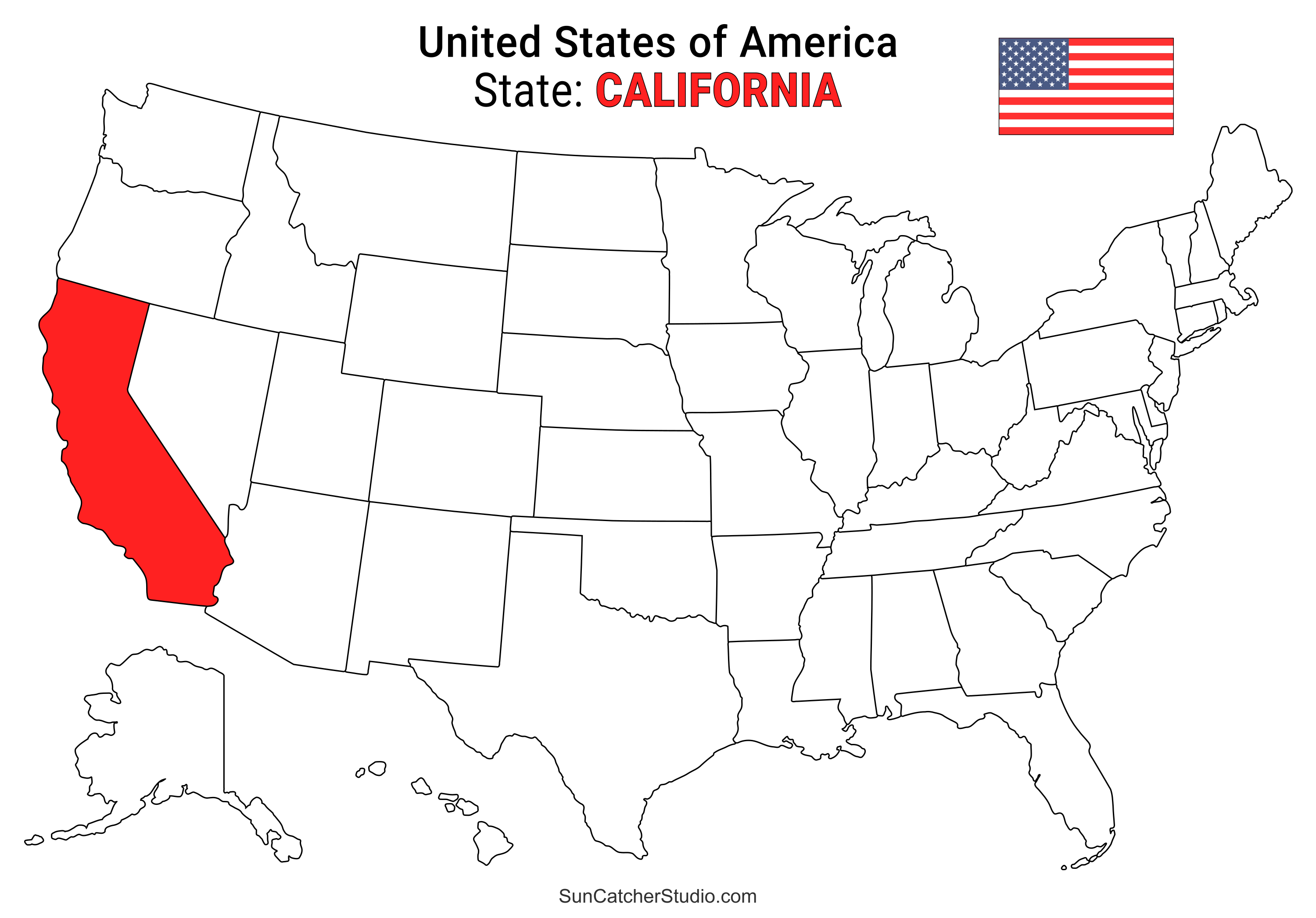
- California Location
- ○ PDF format
- ○ PNG format
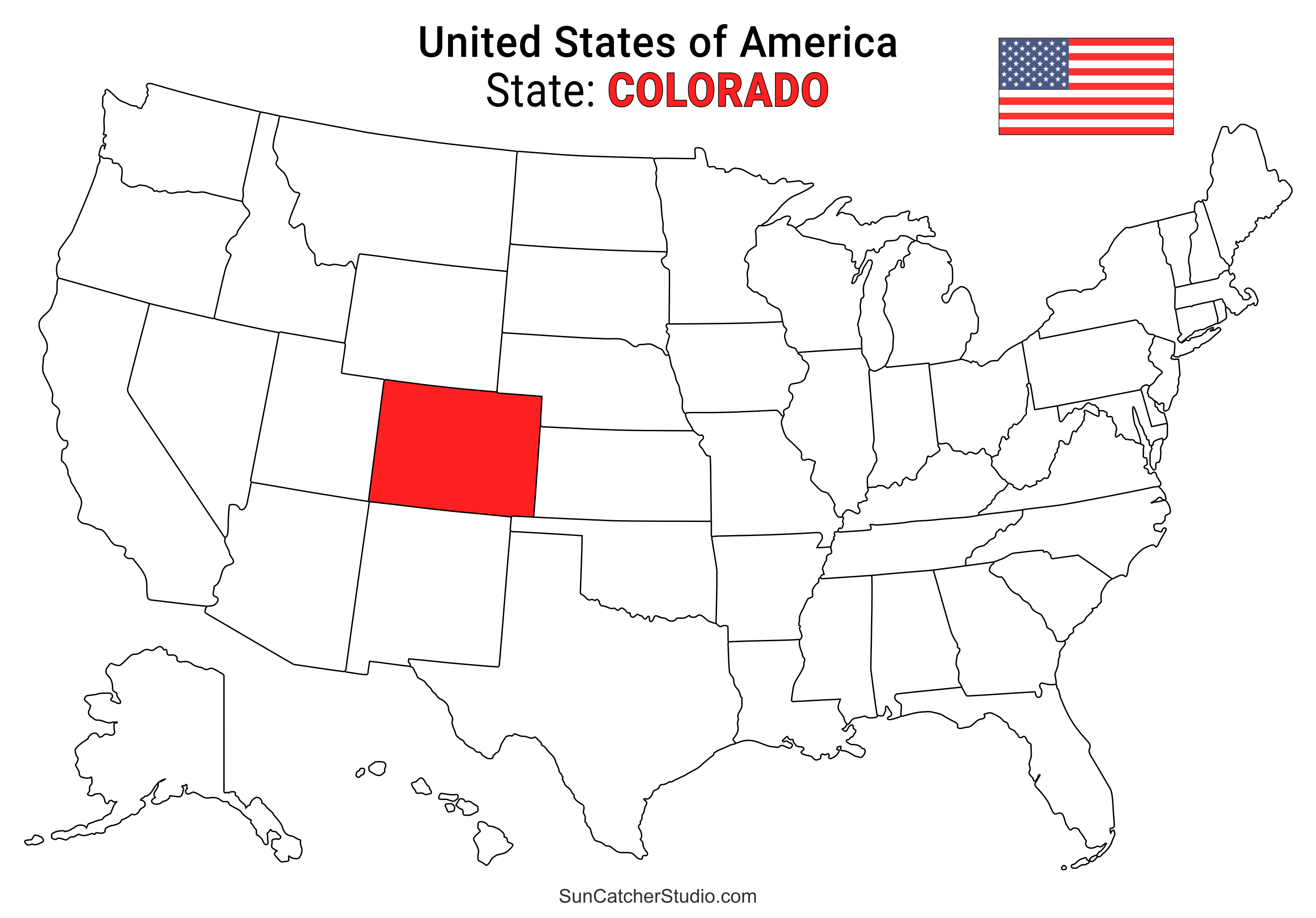
- Colorado Location
- ○ PDF format
- ○ PNG format
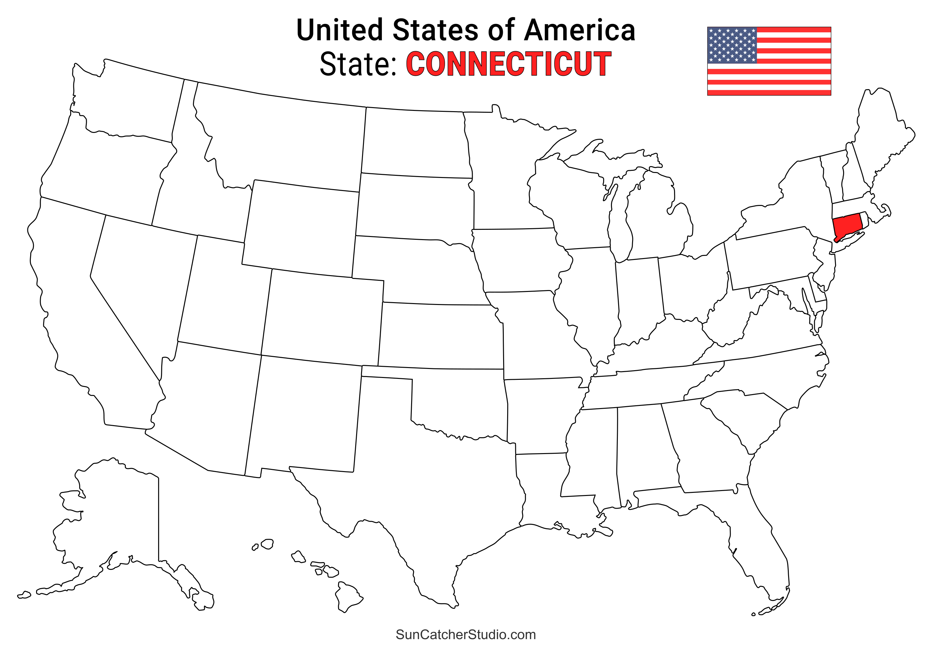
- Connecticut Location
- ○ PDF format
- ○ PNG format
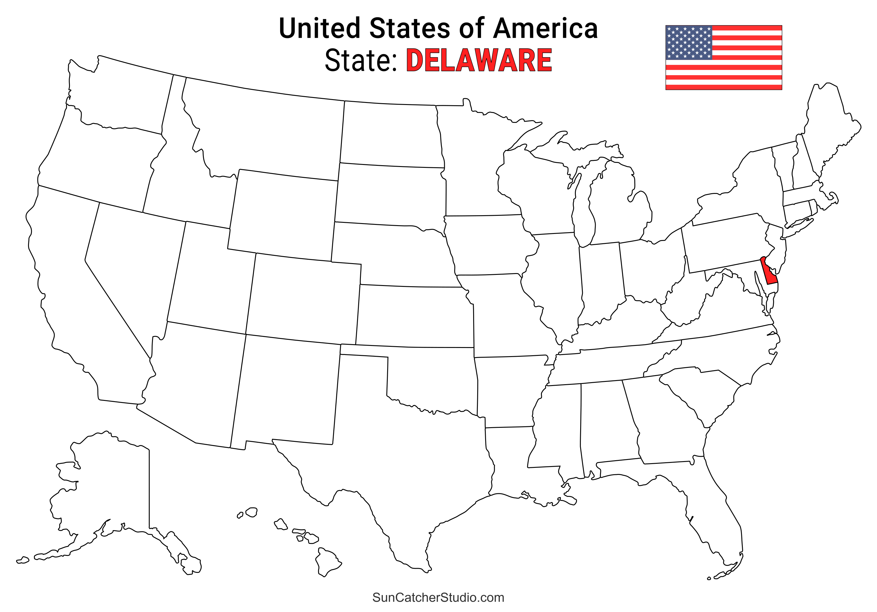
- Delaware Location
- ○ PDF format
- ○ PNG format
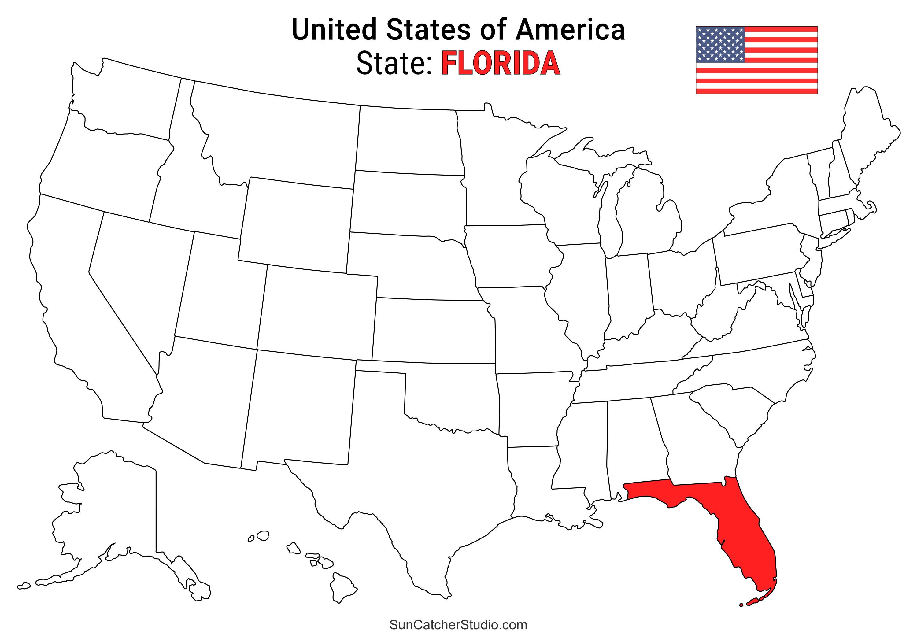
- Florida Location
- ○ PDF format
- ○ PNG format
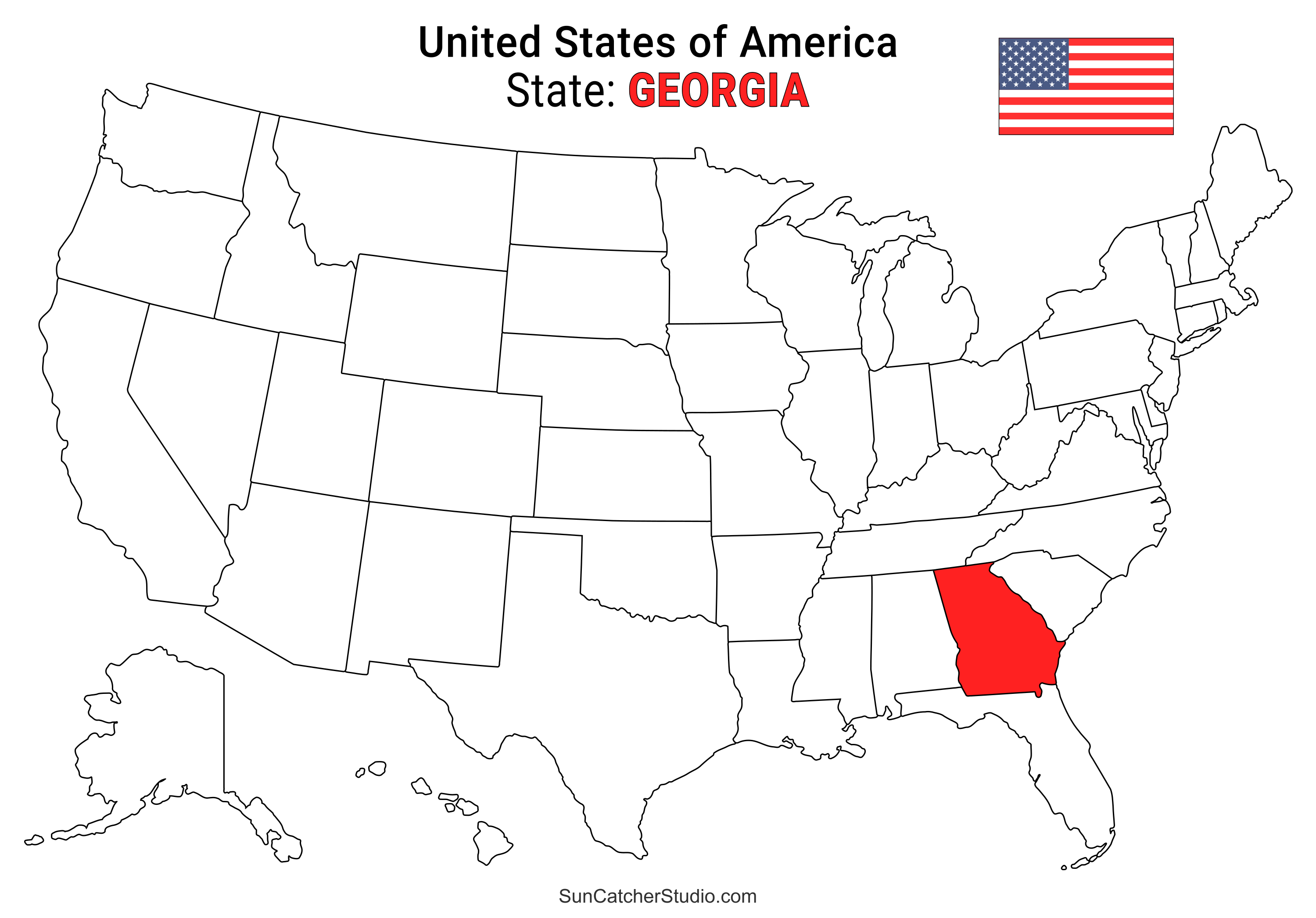
- Georgia Location
- ○ PDF format
- ○ PNG format
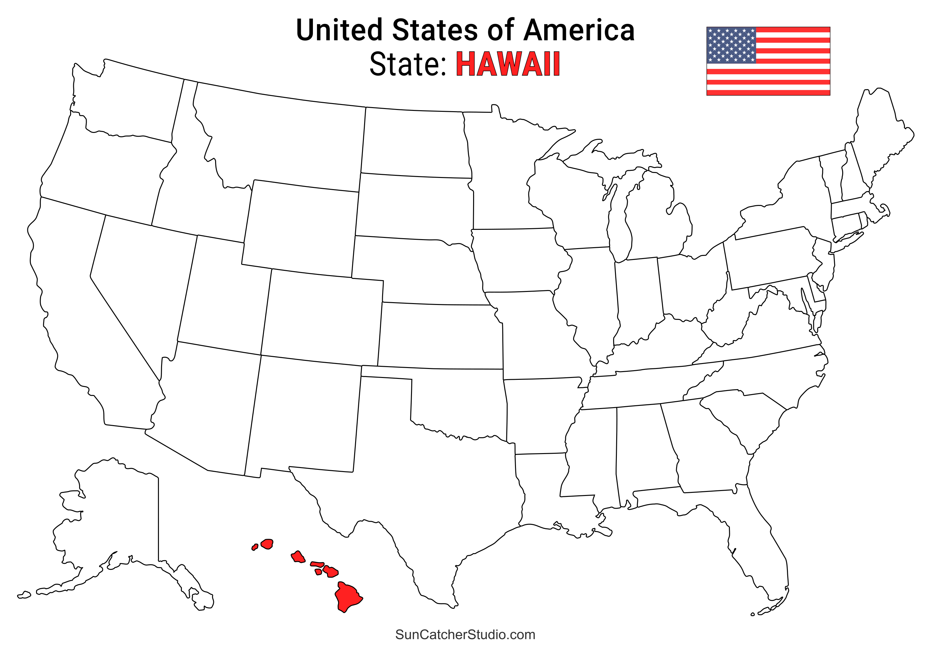
- Hawaii Location
- ○ PDF format
- ○ PNG format
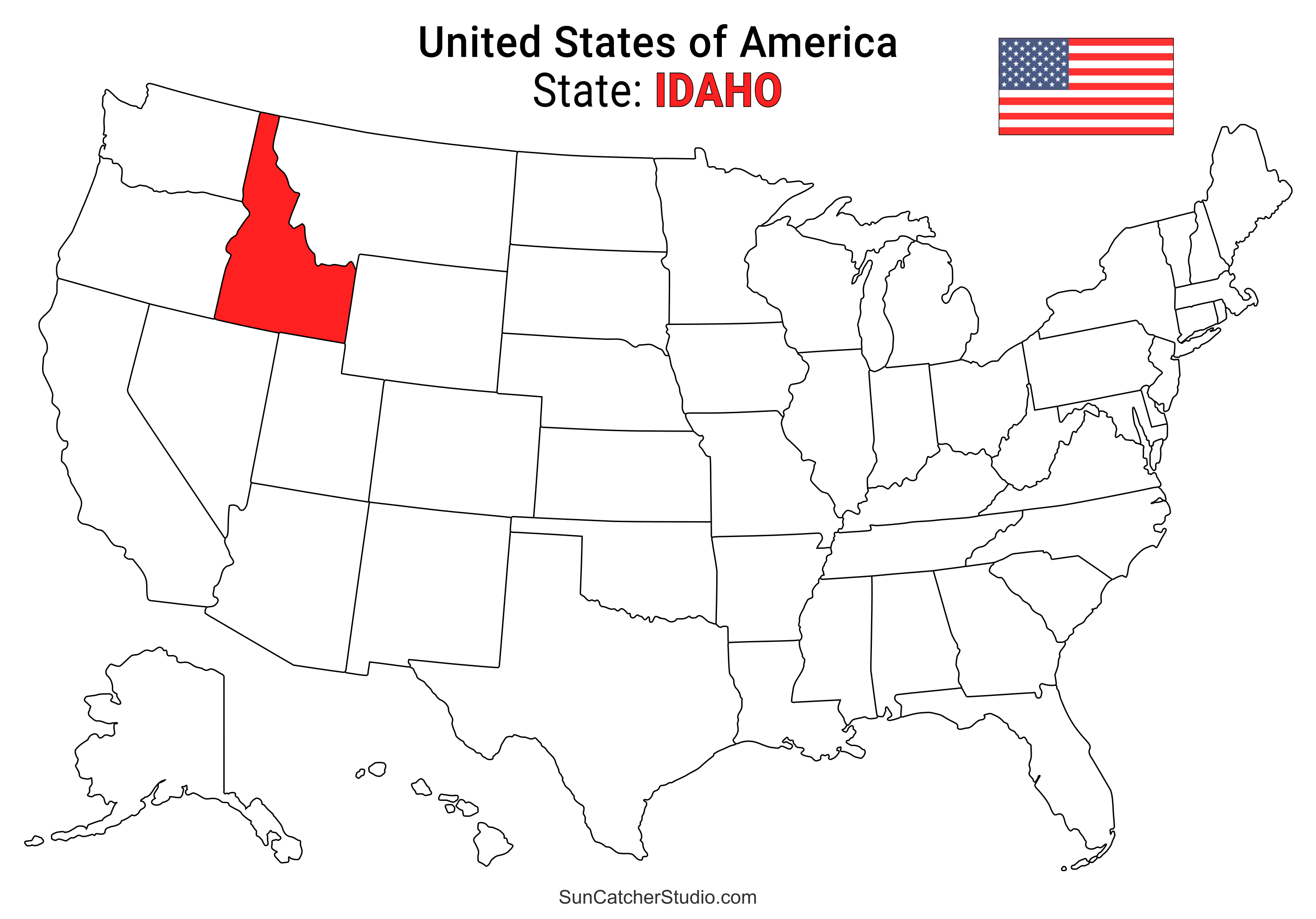
- Idaho Location
- ○ PDF format
- ○ PNG format
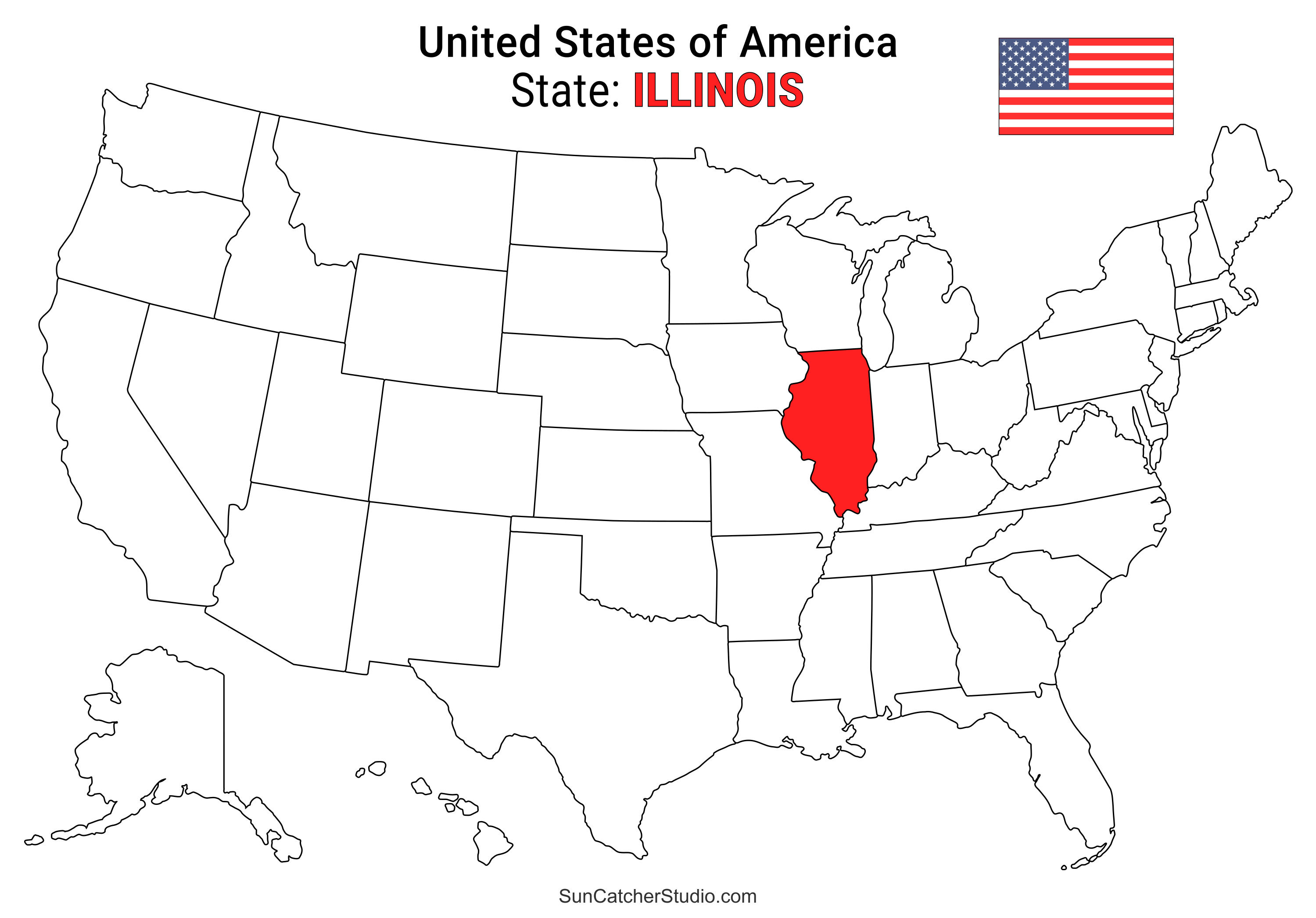
- Illinois Location
- ○ PDF format
- ○ PNG format
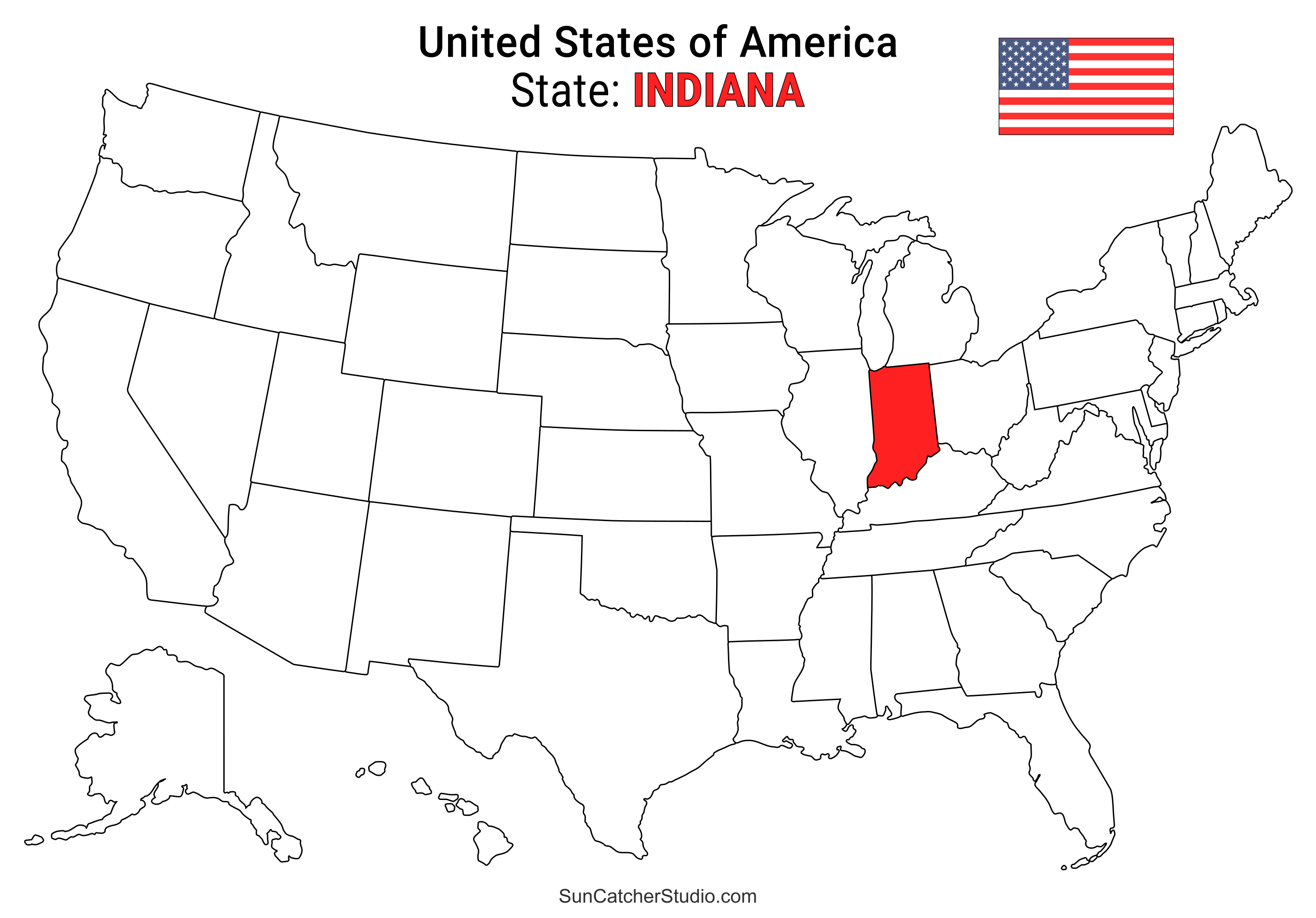
- Indiana Location
- ○ PDF format
- ○ PNG format
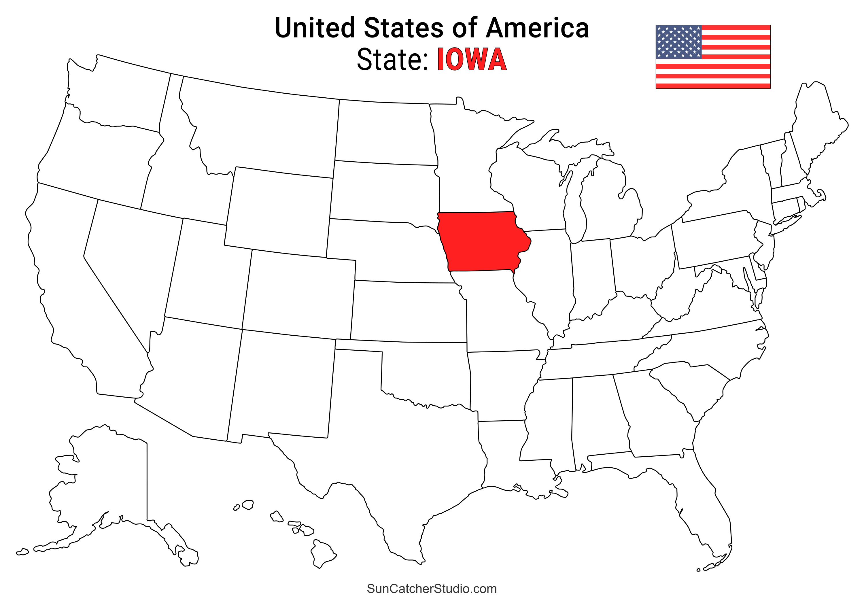
- Iowa Location
- ○ PDF format
- ○ PNG format
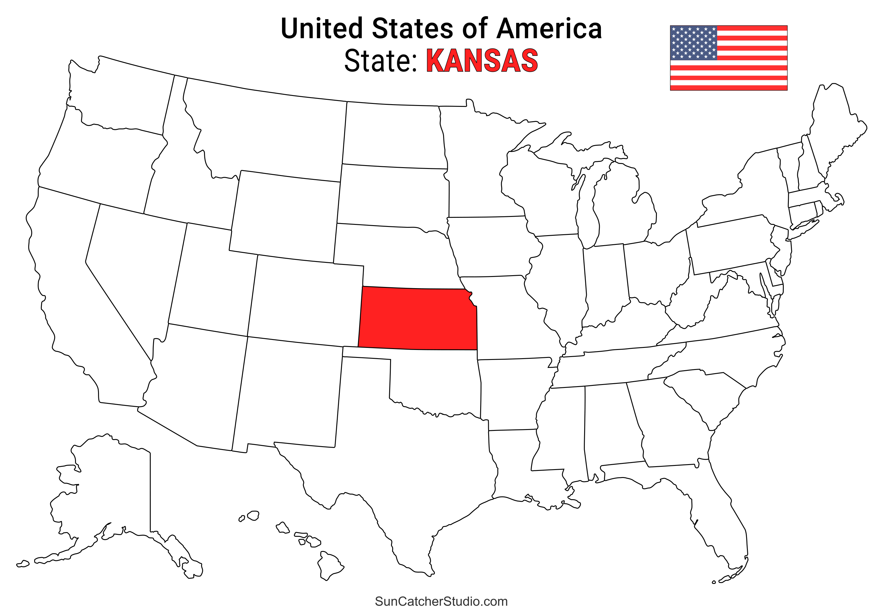
- Kansas Location
- ○ PDF format
- ○ PNG format
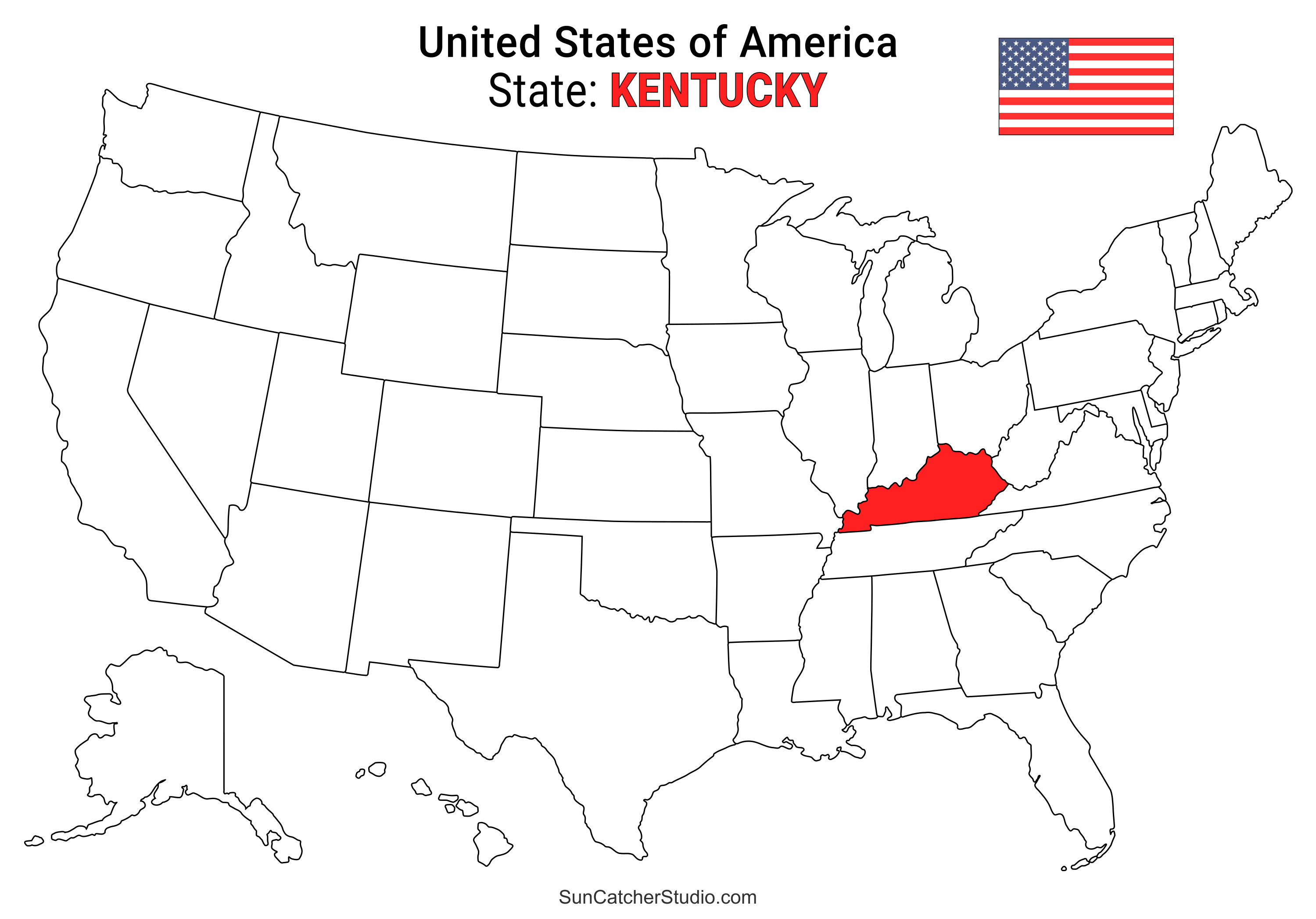
- Kentucky Location
- ○ PDF format
- ○ PNG format
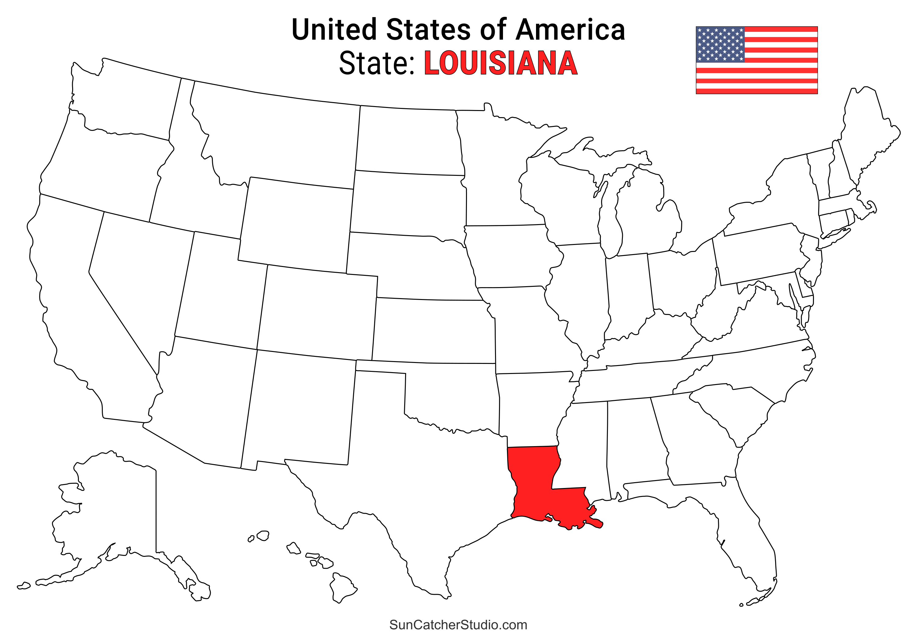
- Louisiana Location
- ○ PDF format
- ○ PNG format
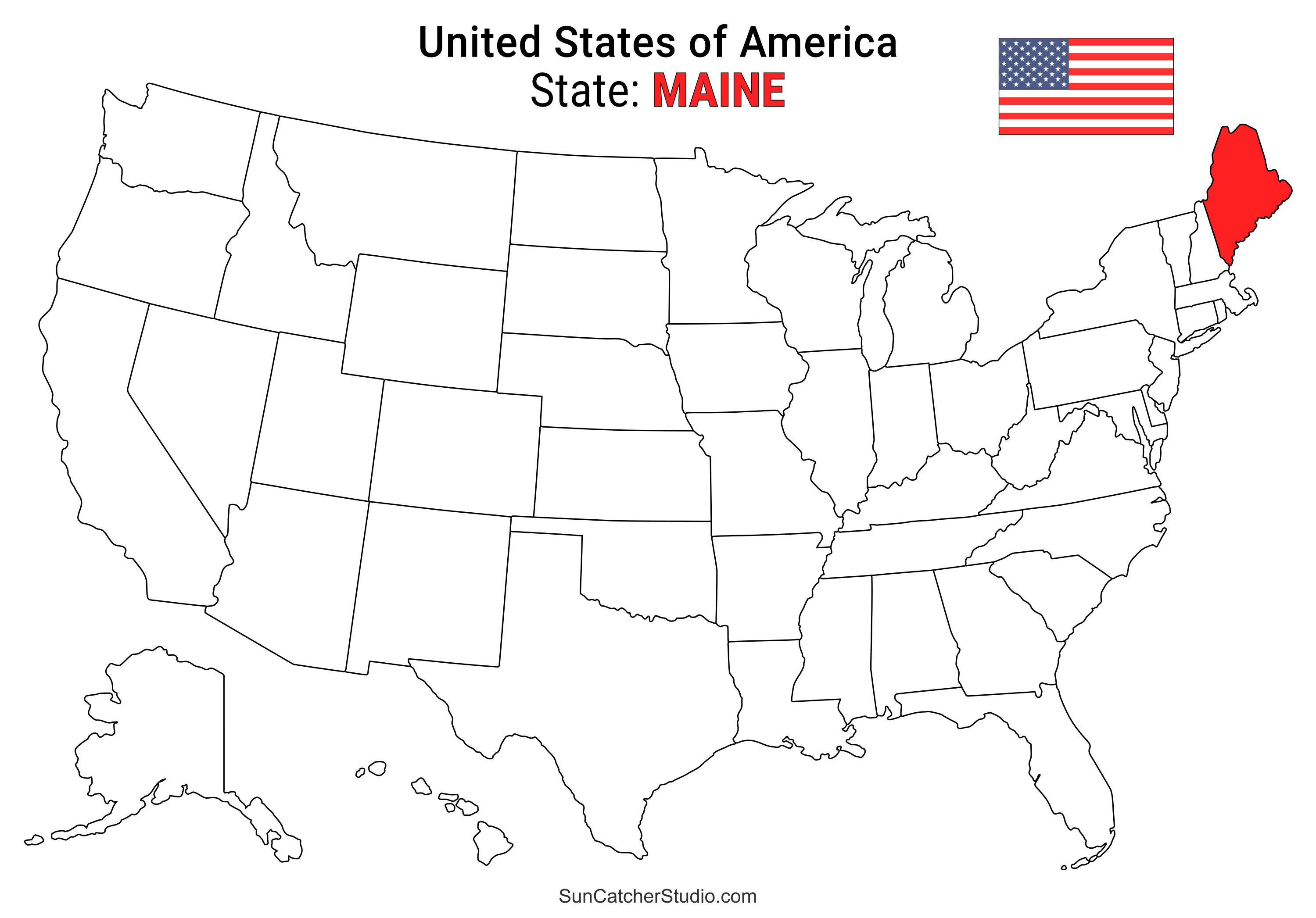
- Maine Location
- ○ PDF format
- ○ PNG format
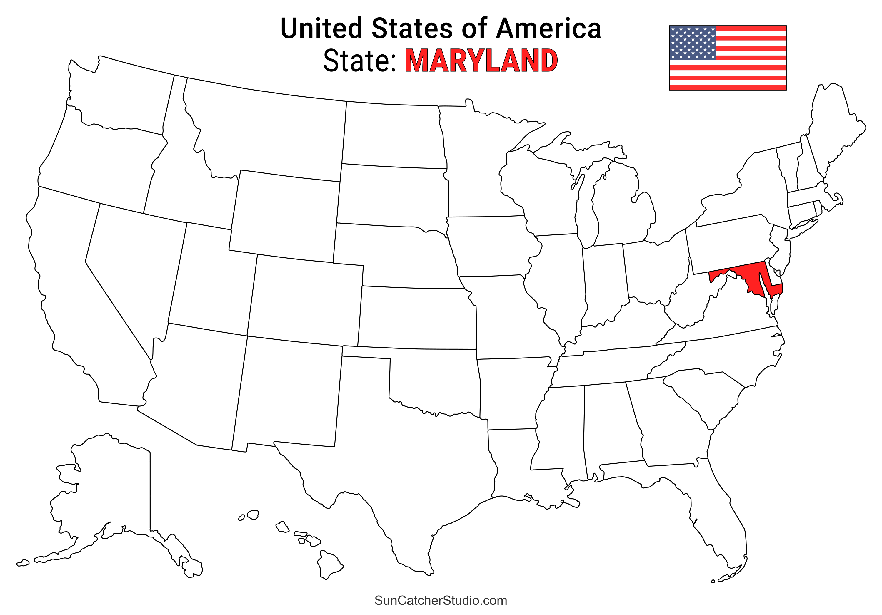
- Maryland Location
- ○ PDF format
- ○ PNG format
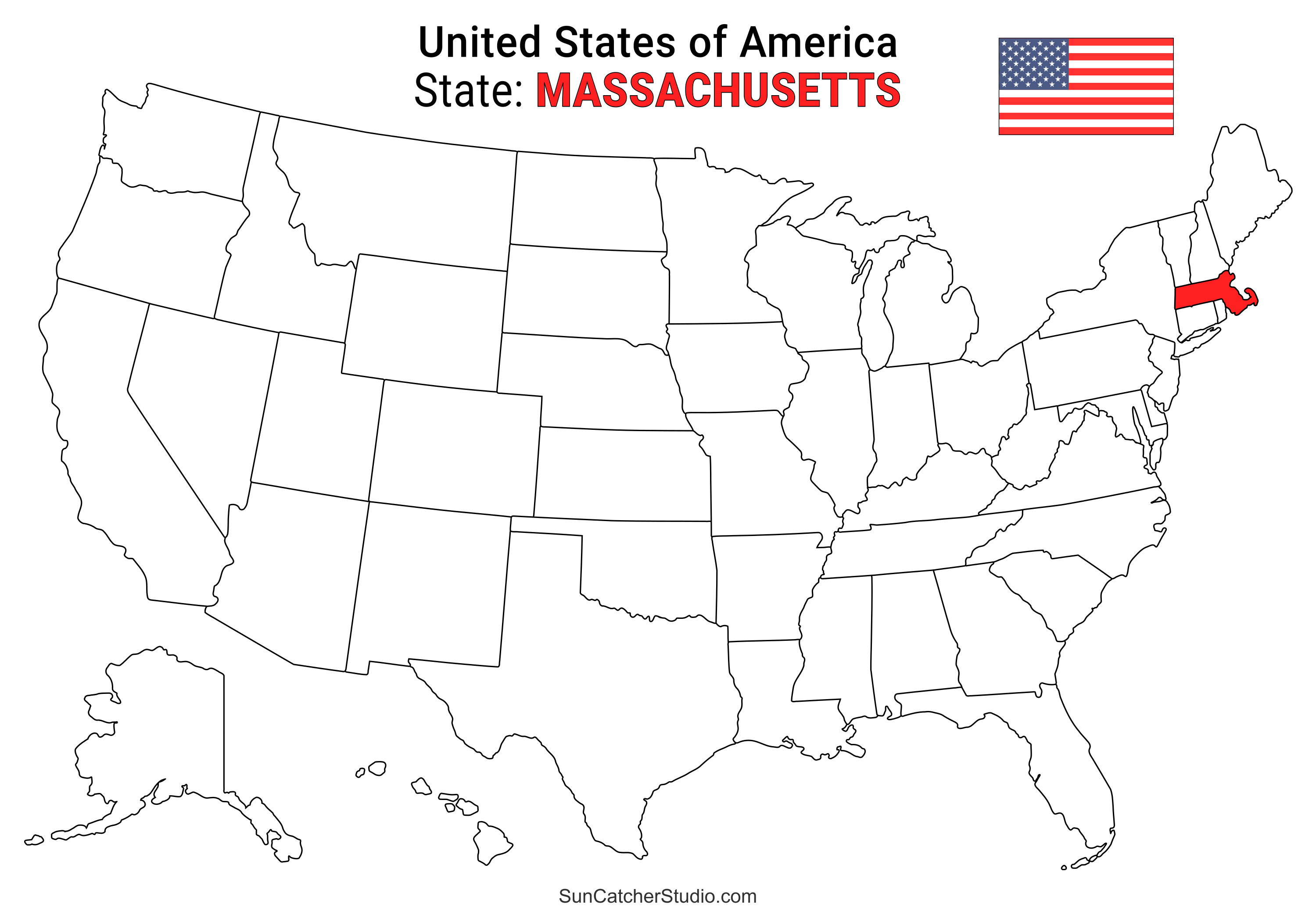
- Massachusetts Location
- ○ PDF format
- ○ PNG format
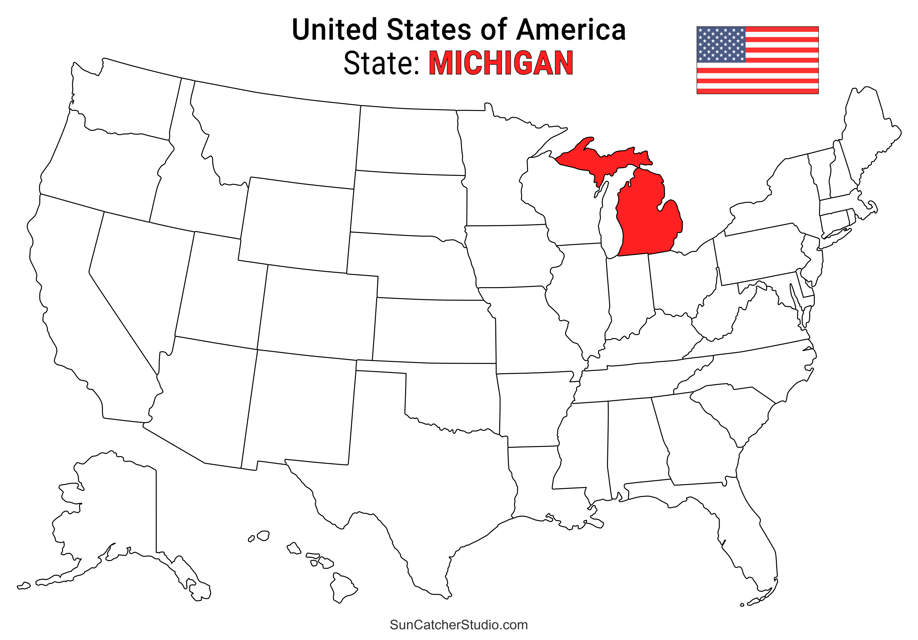
- Michigan Location
- ○ PDF format
- ○ PNG format
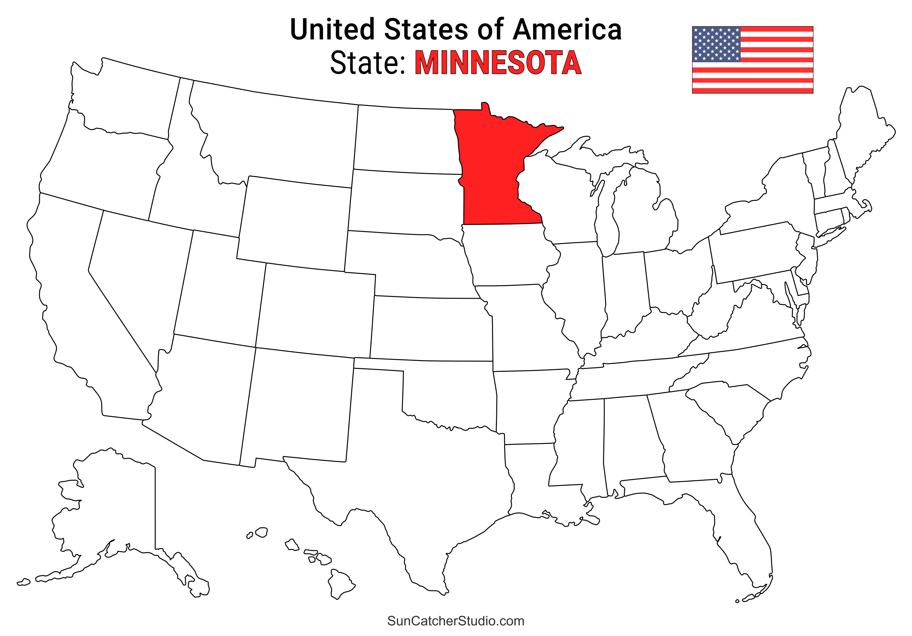
- Minnesota Location
- ○ PDF format
- ○ PNG format
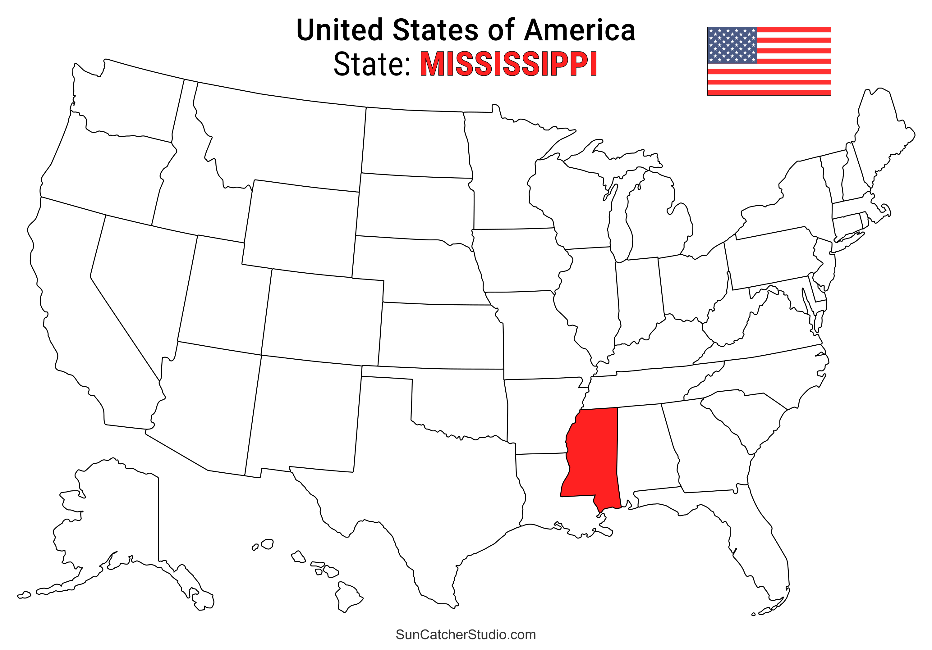
- Mississippi Location
- ○ PDF format
- ○ PNG format
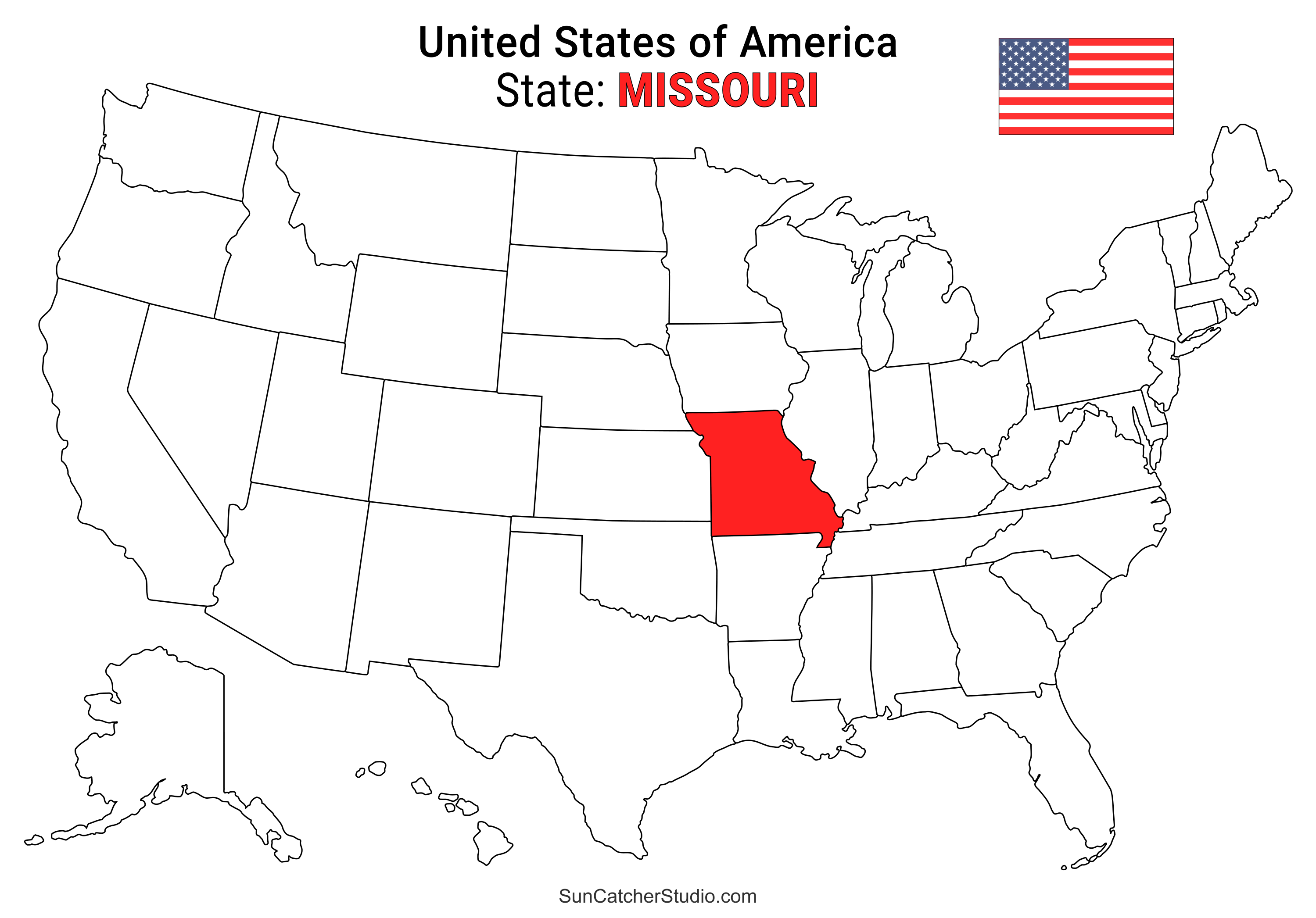
- Missouri Location
- ○ PDF format
- ○ PNG format
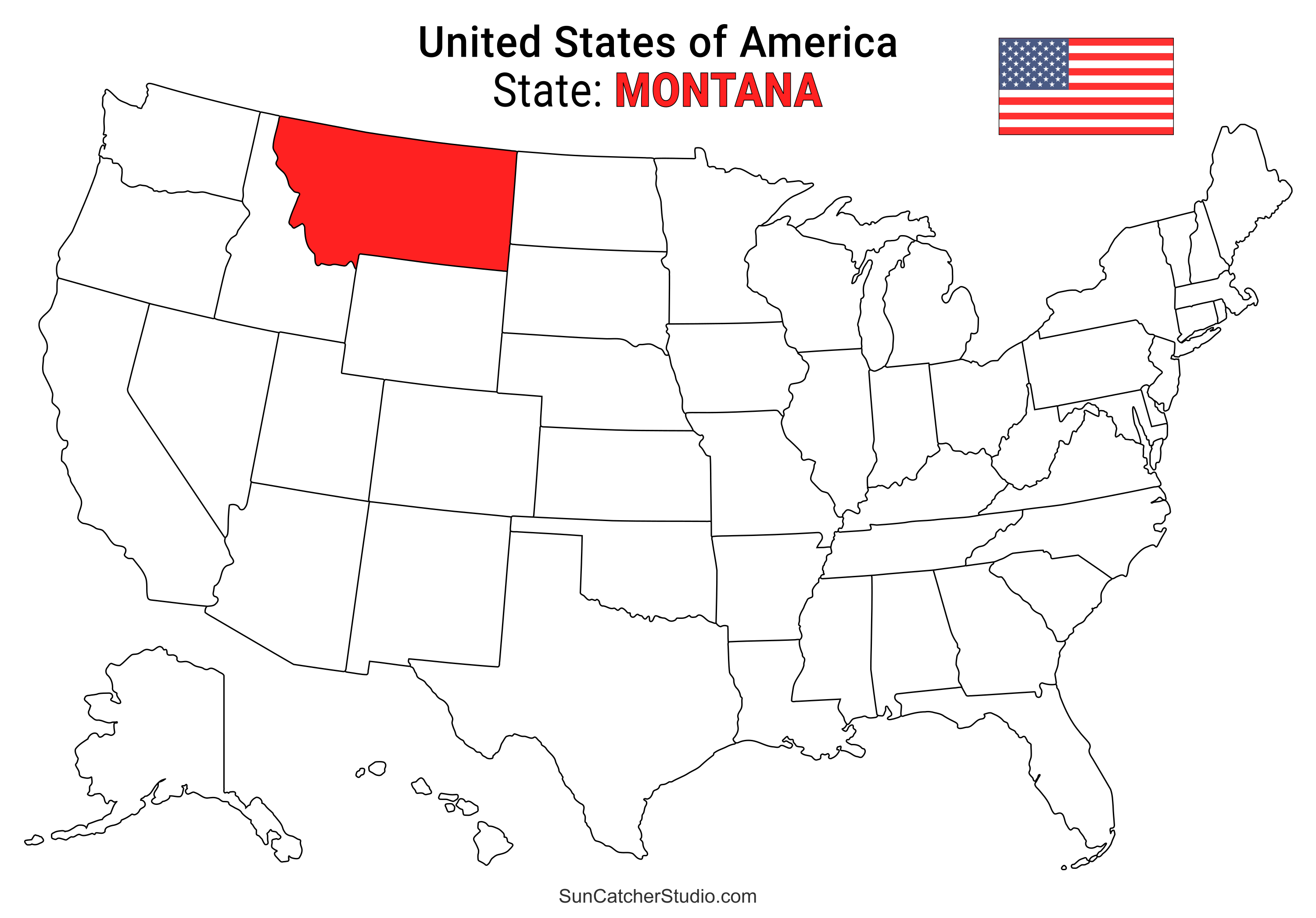
- Montana Location
- ○ PDF format
- ○ PNG format
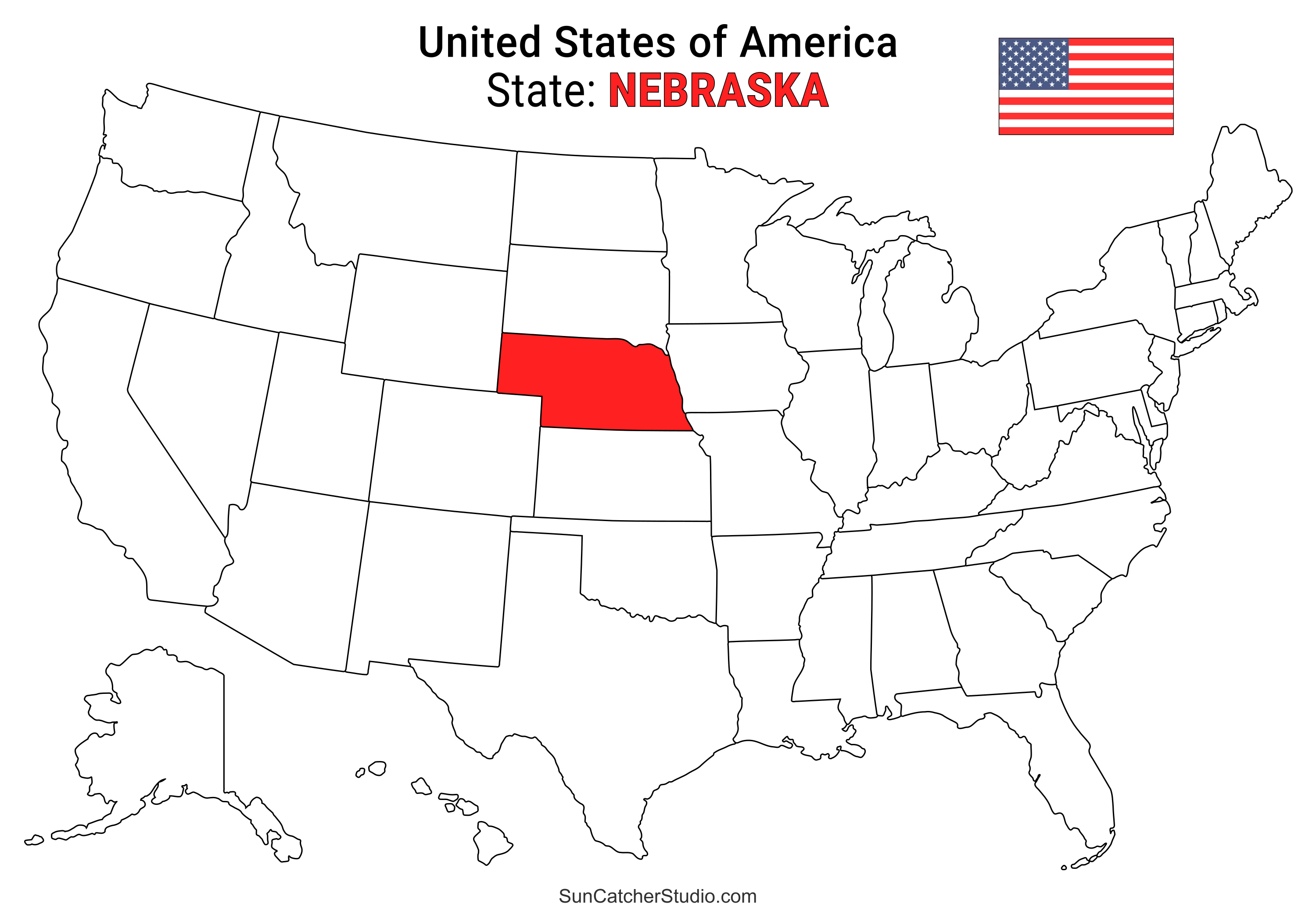
- Nebraska Location
- ○ PDF format
- ○ PNG format
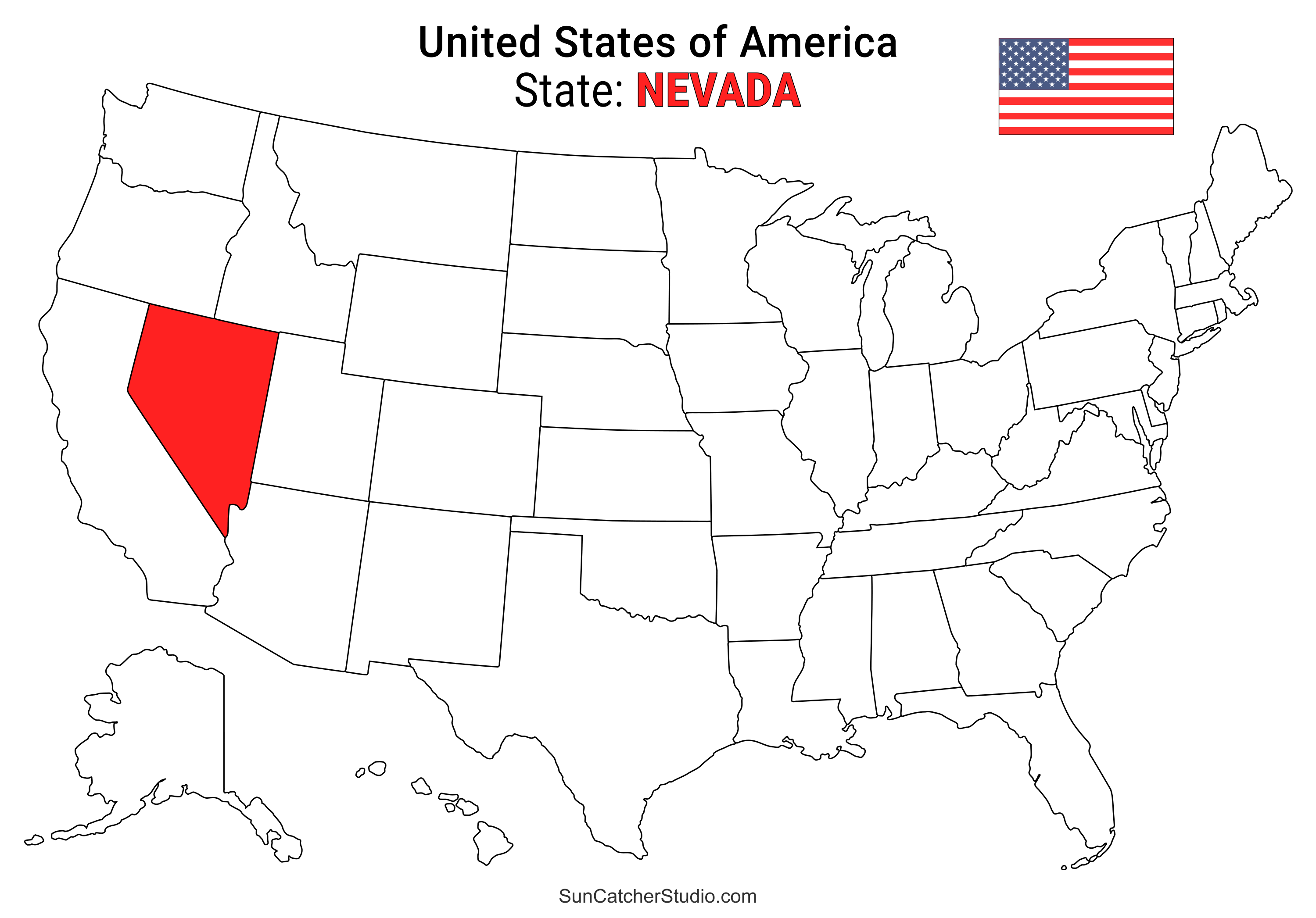
- Nevada Location
- ○ PDF format
- ○ PNG format
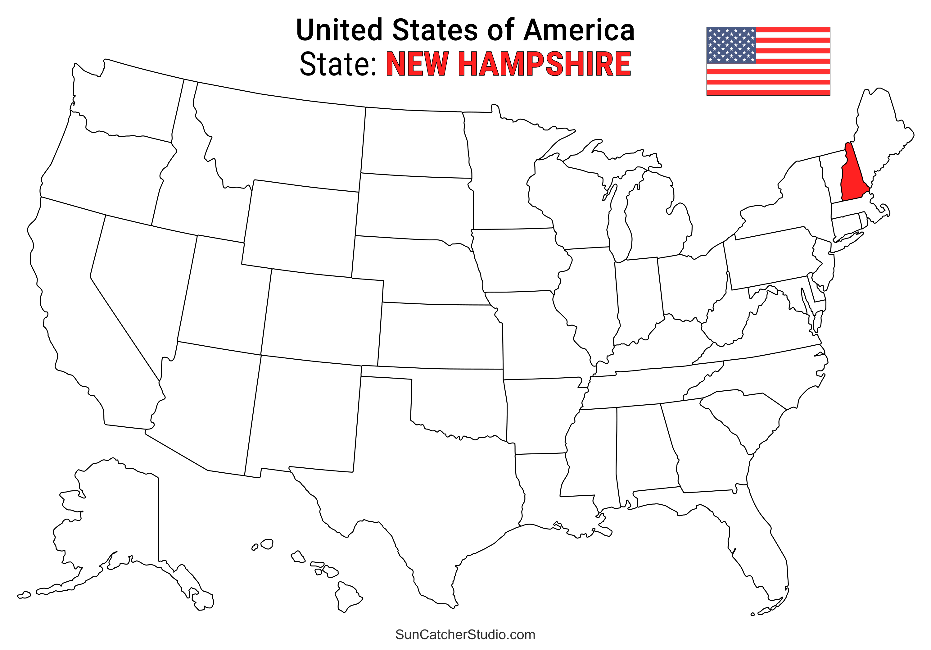
- New Hampshire Location
- ○ PDF format
- ○ PNG format
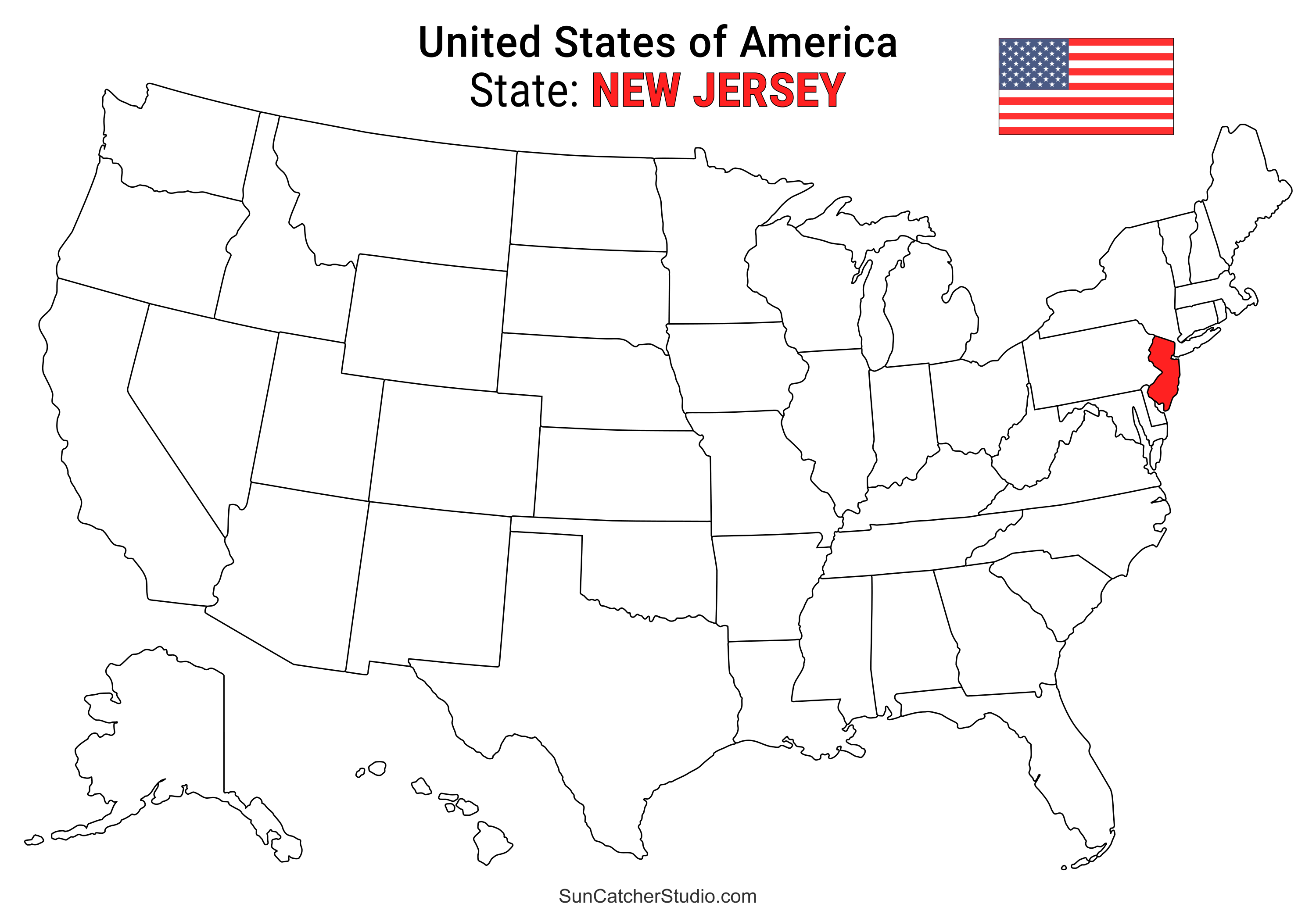
- New Jersey Location
- ○ PDF format
- ○ PNG format
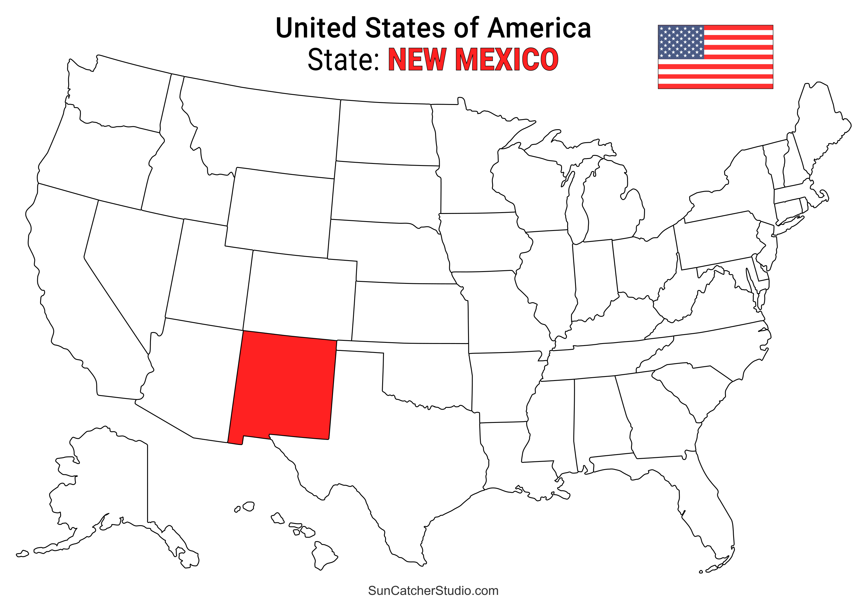
- New Mexico Location
- ○ PDF format
- ○ PNG format
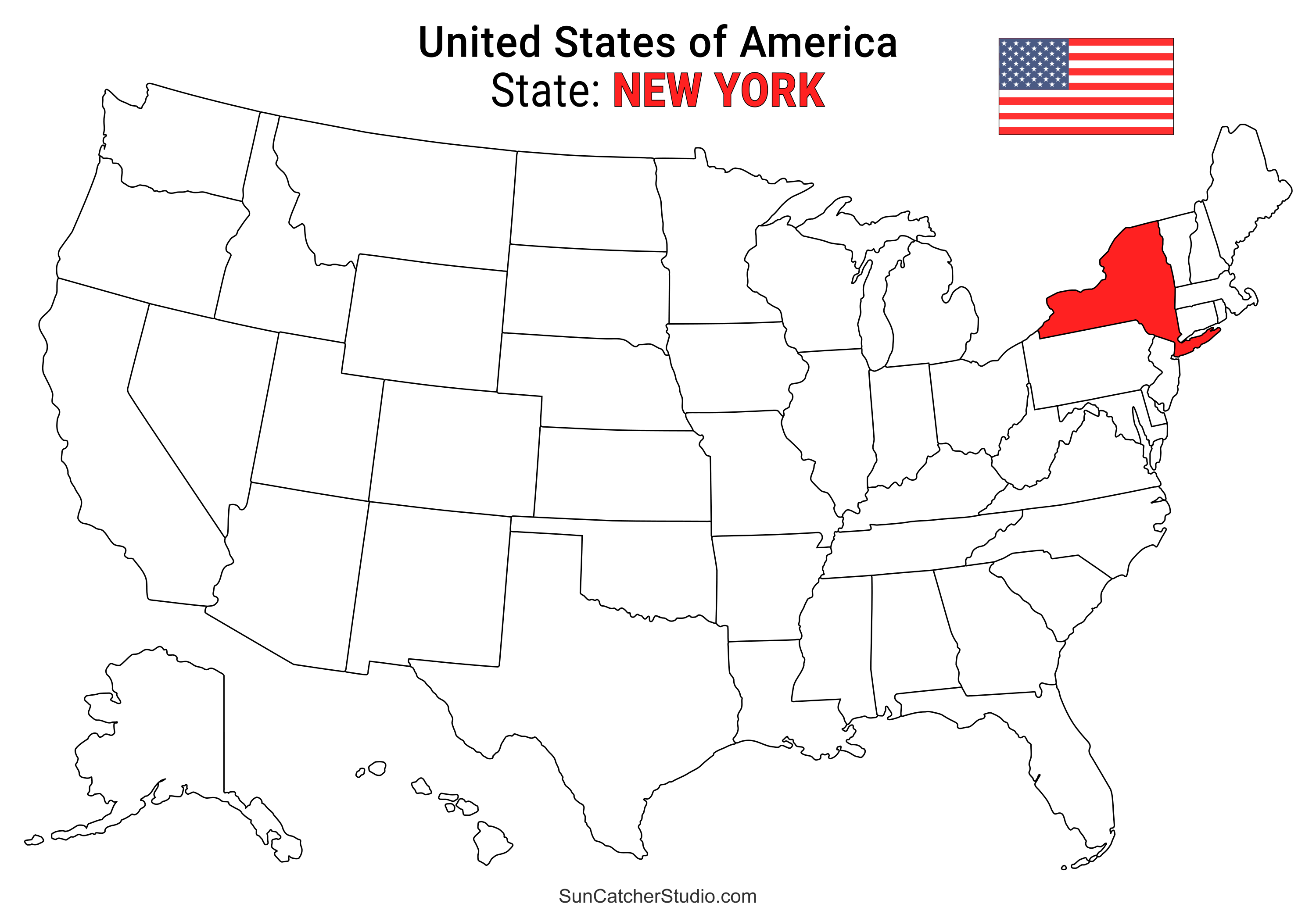
- New York Location
- ○ PDF format
- ○ PNG format
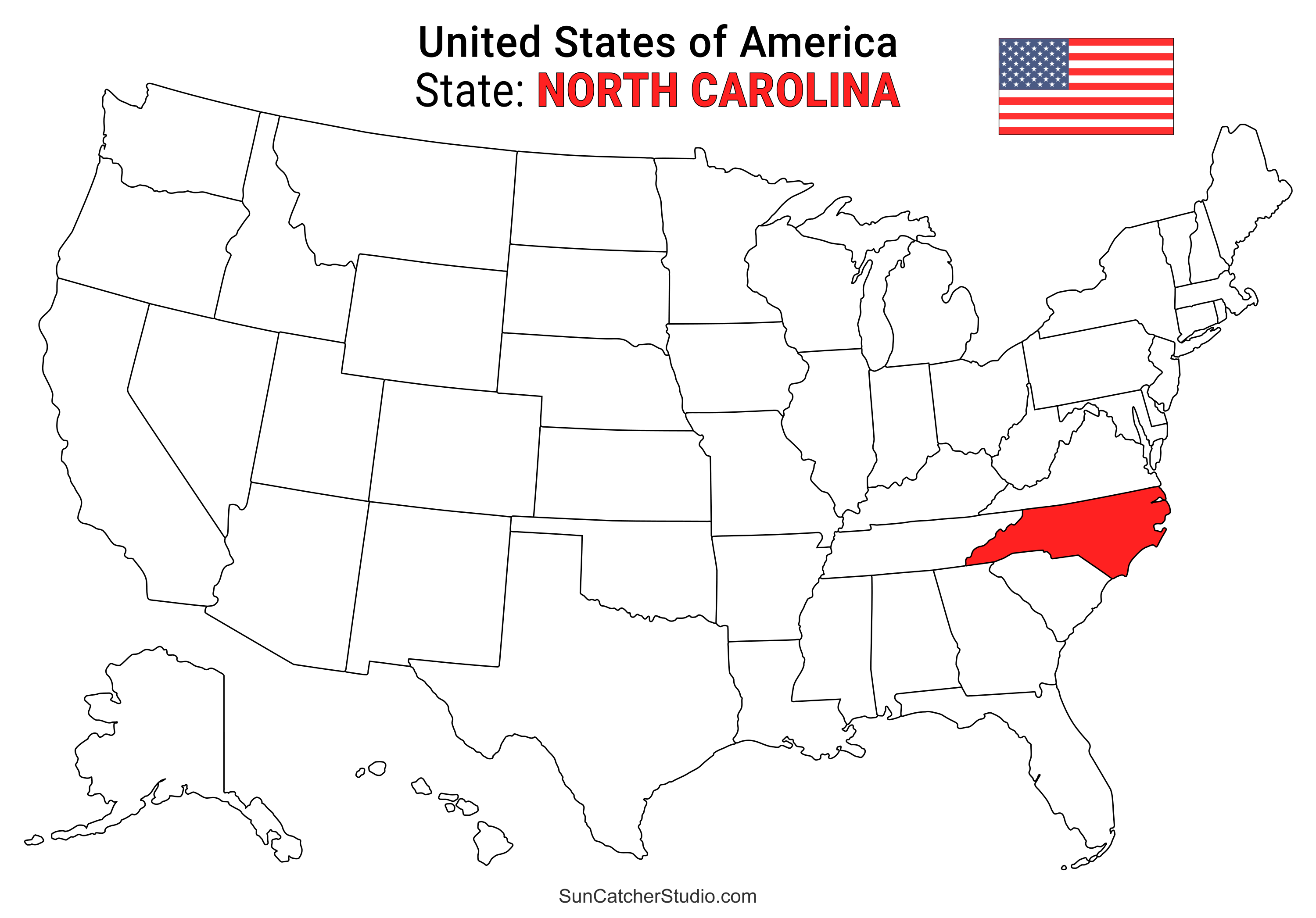
- North Carolina Location
- ○ PDF format
- ○ PNG format
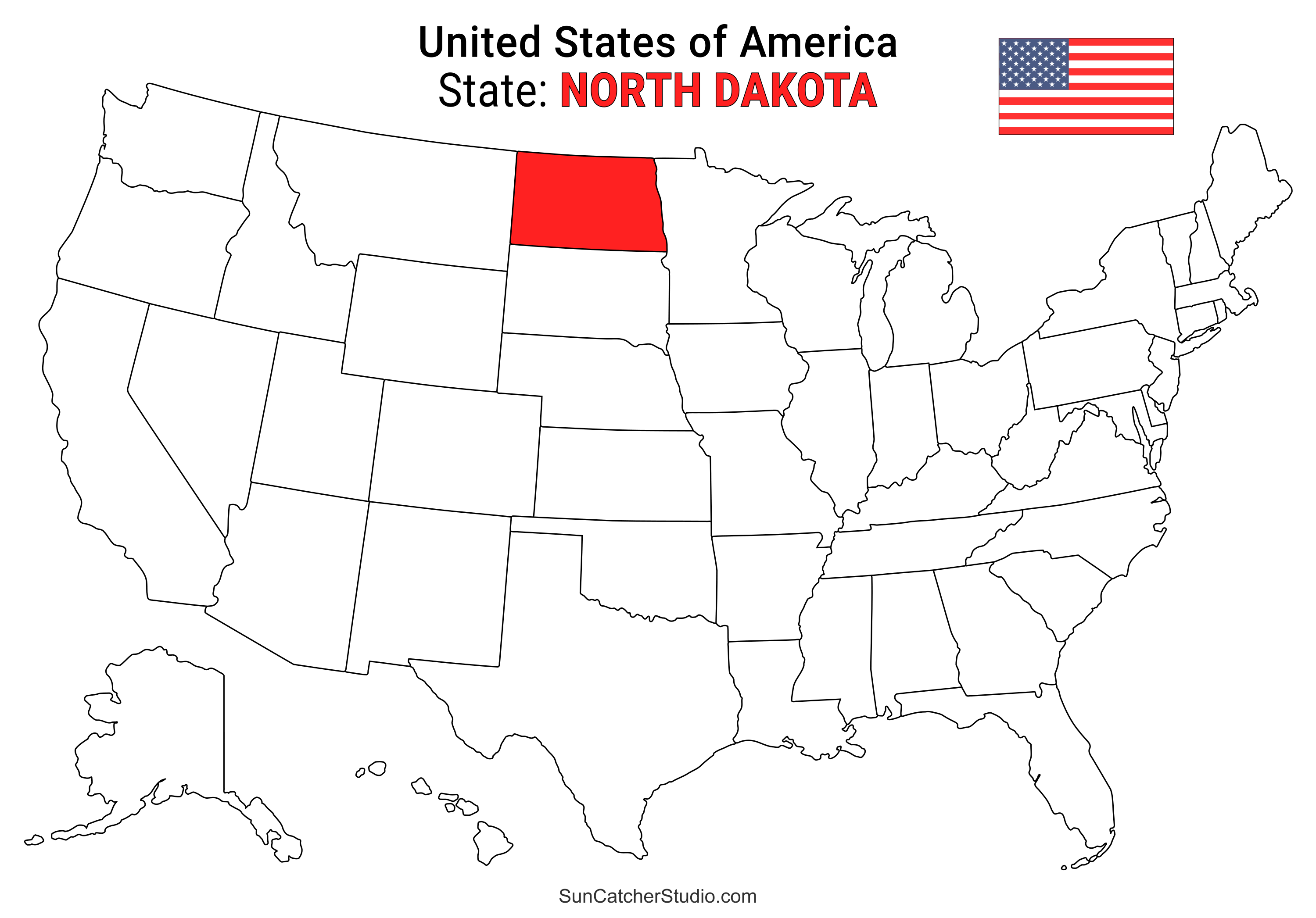
- North Dakota Location
- ○ PDF format
- ○ PNG format
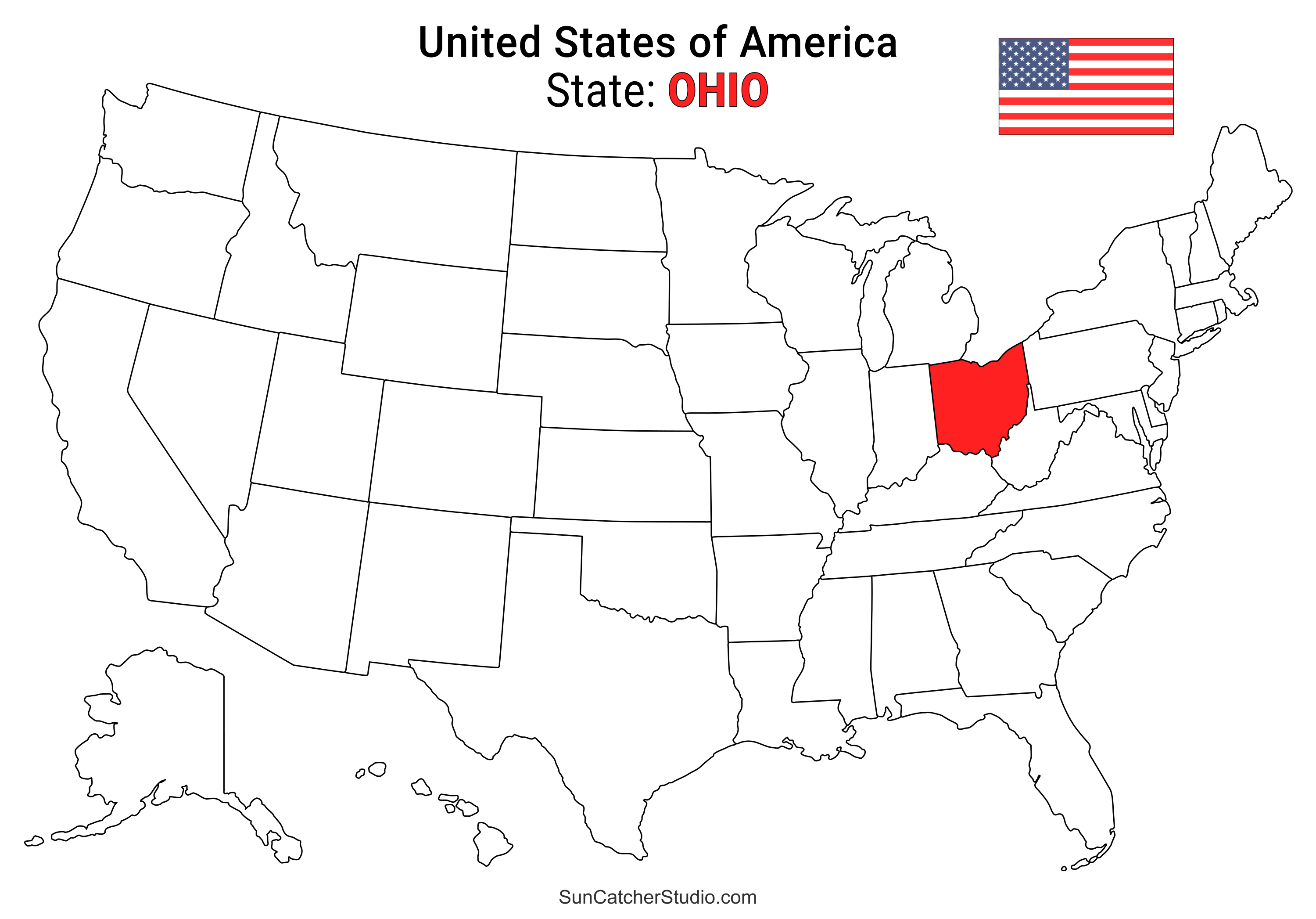
- Ohio Location
- ○ PDF format
- ○ PNG format
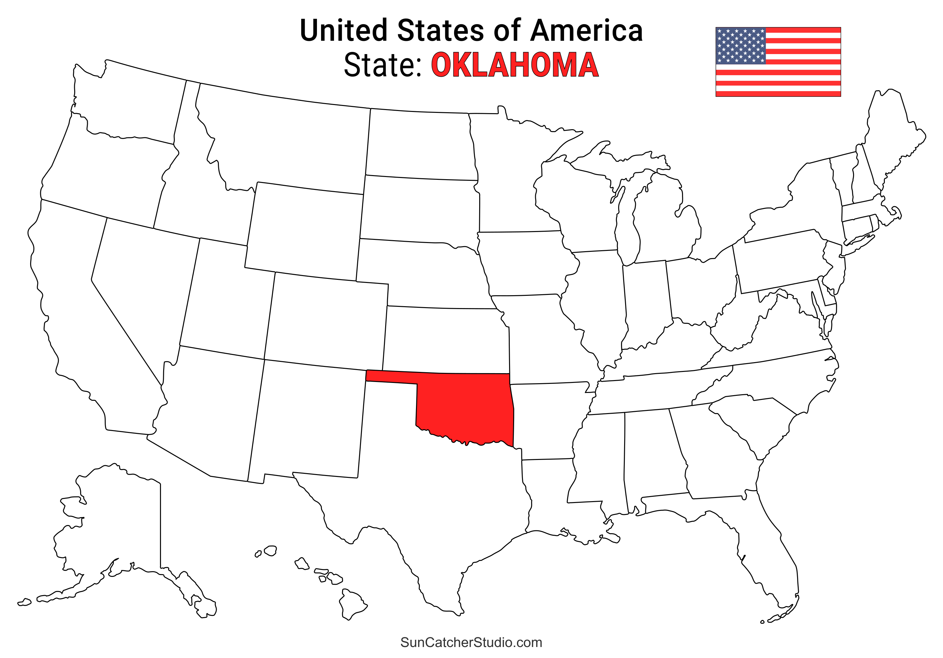
- Oklahoma Location
- ○ PDF format
- ○ PNG format
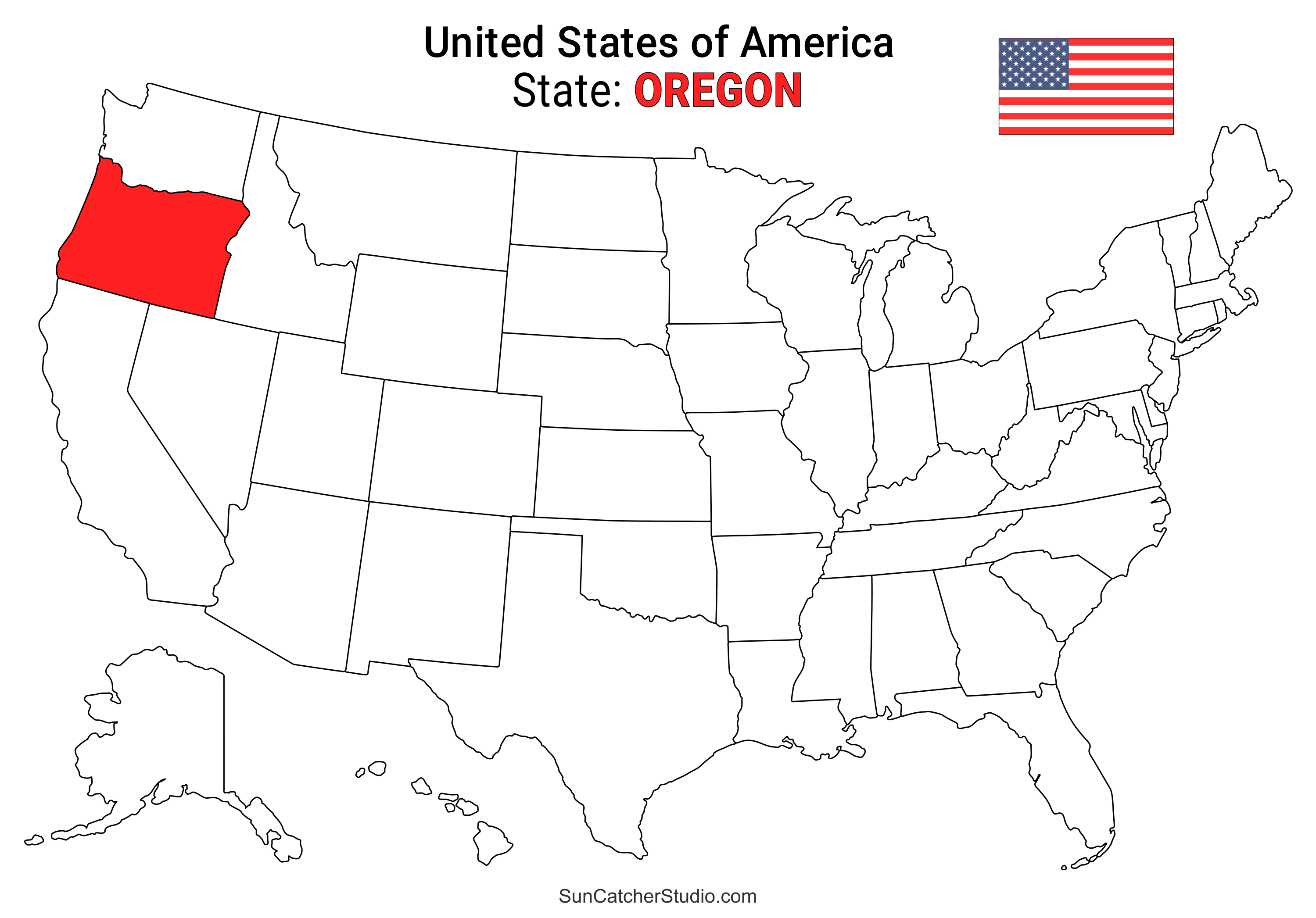
- Oregon Location
- ○ PDF format
- ○ PNG format
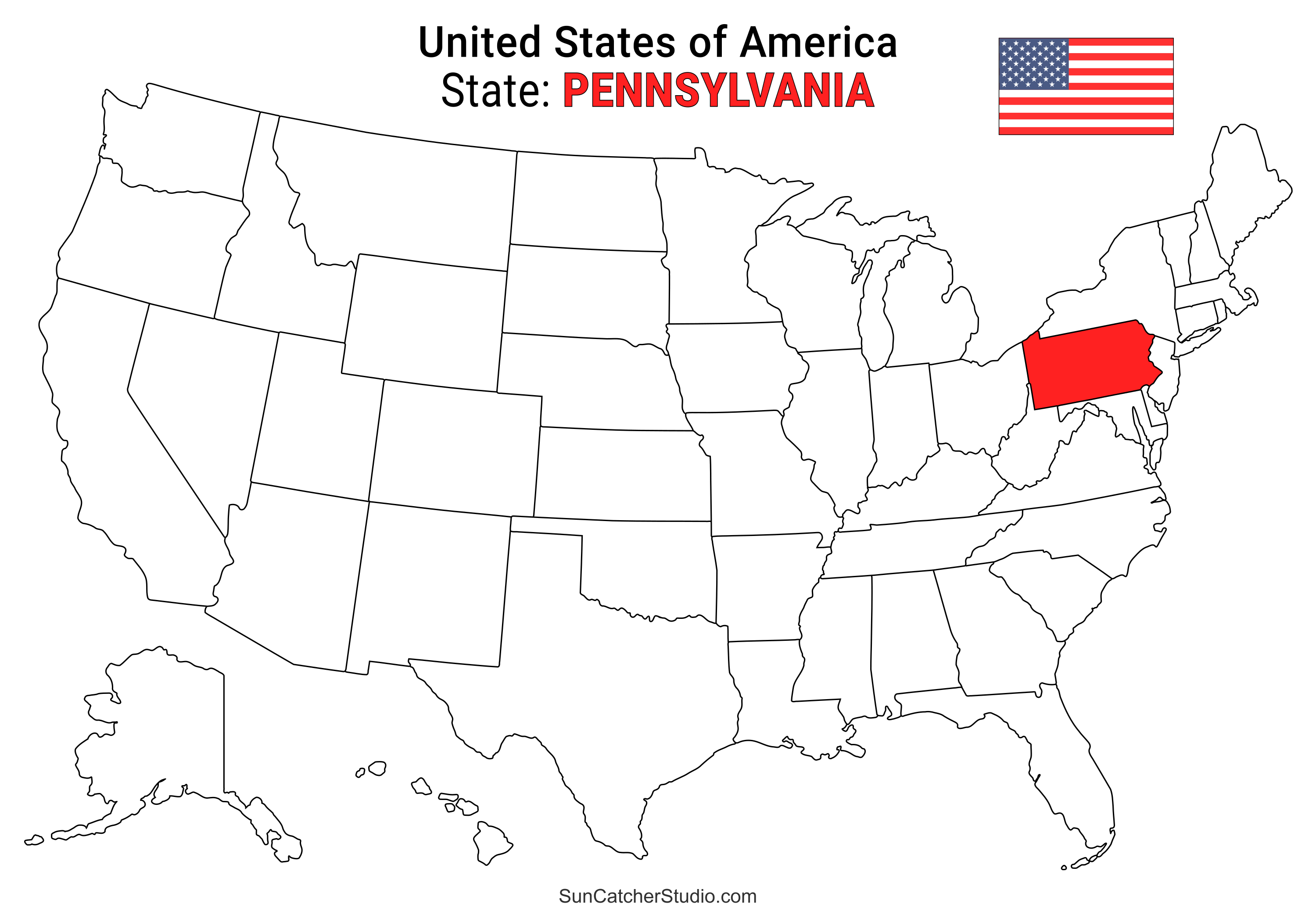
- Pennsylvania Location
- ○ PDF format
- ○ PNG format
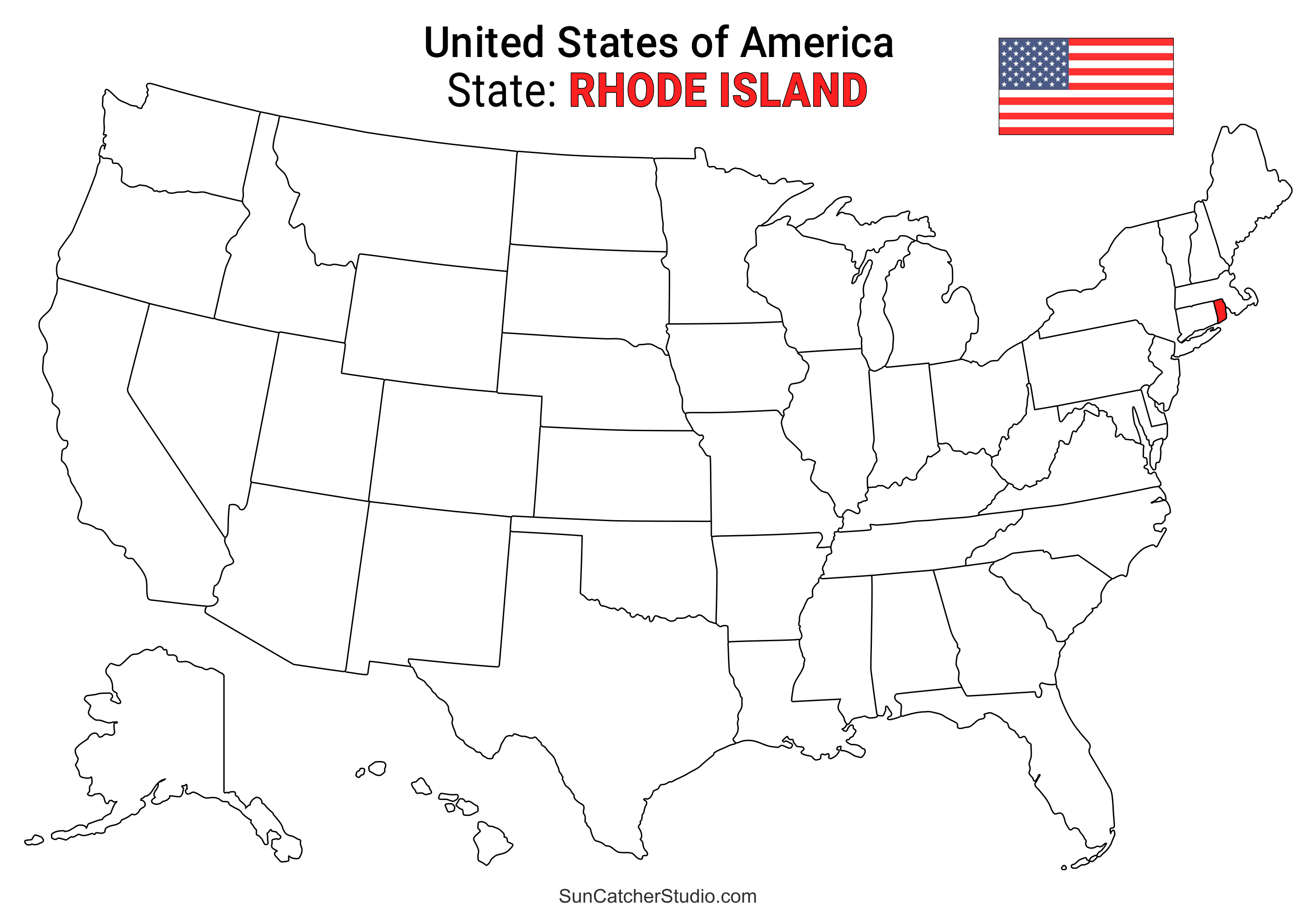
- Rhode Island Location
- ○ PDF format
- ○ PNG format
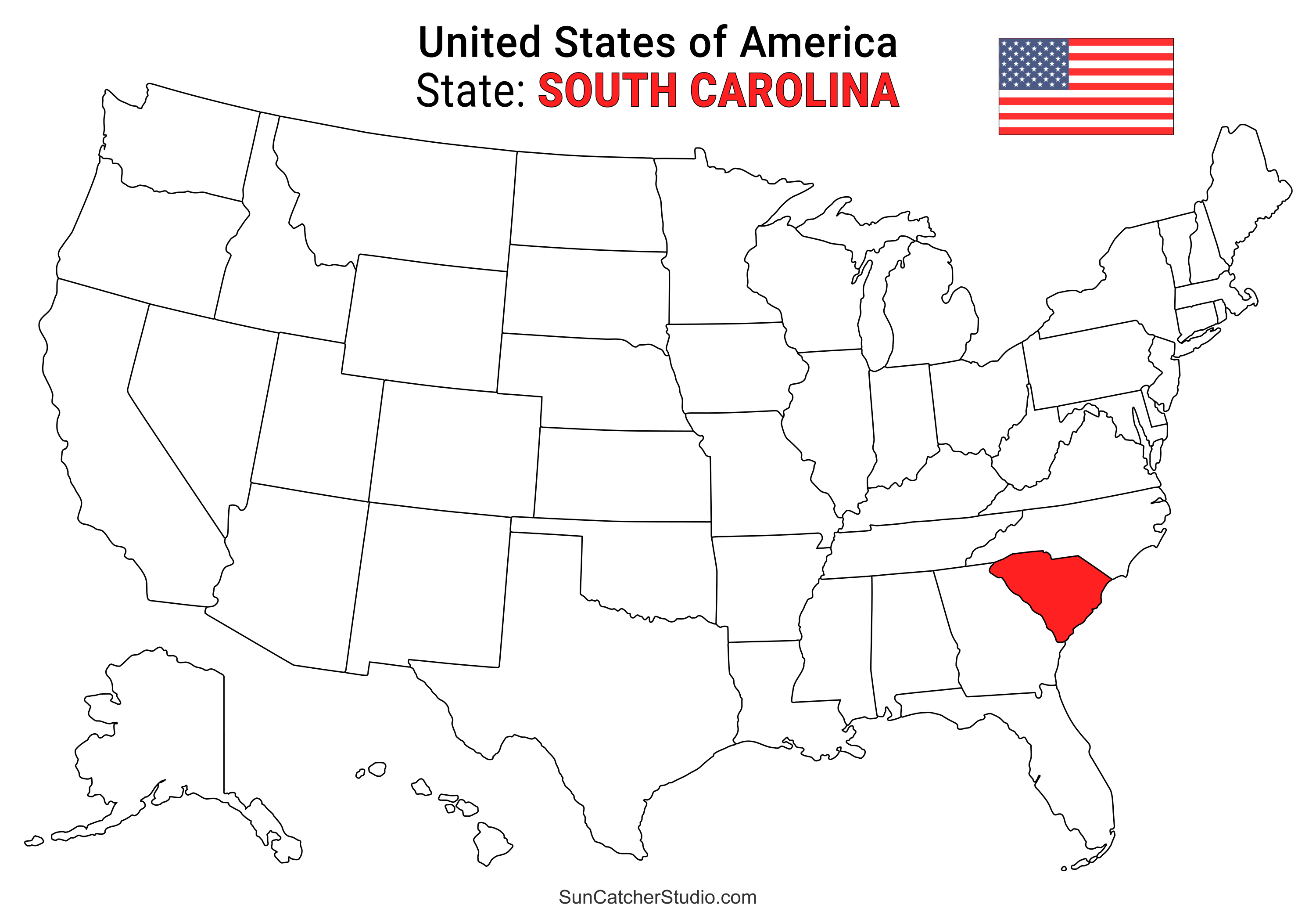
- South Carolina Location
- ○ PDF format
- ○ PNG format
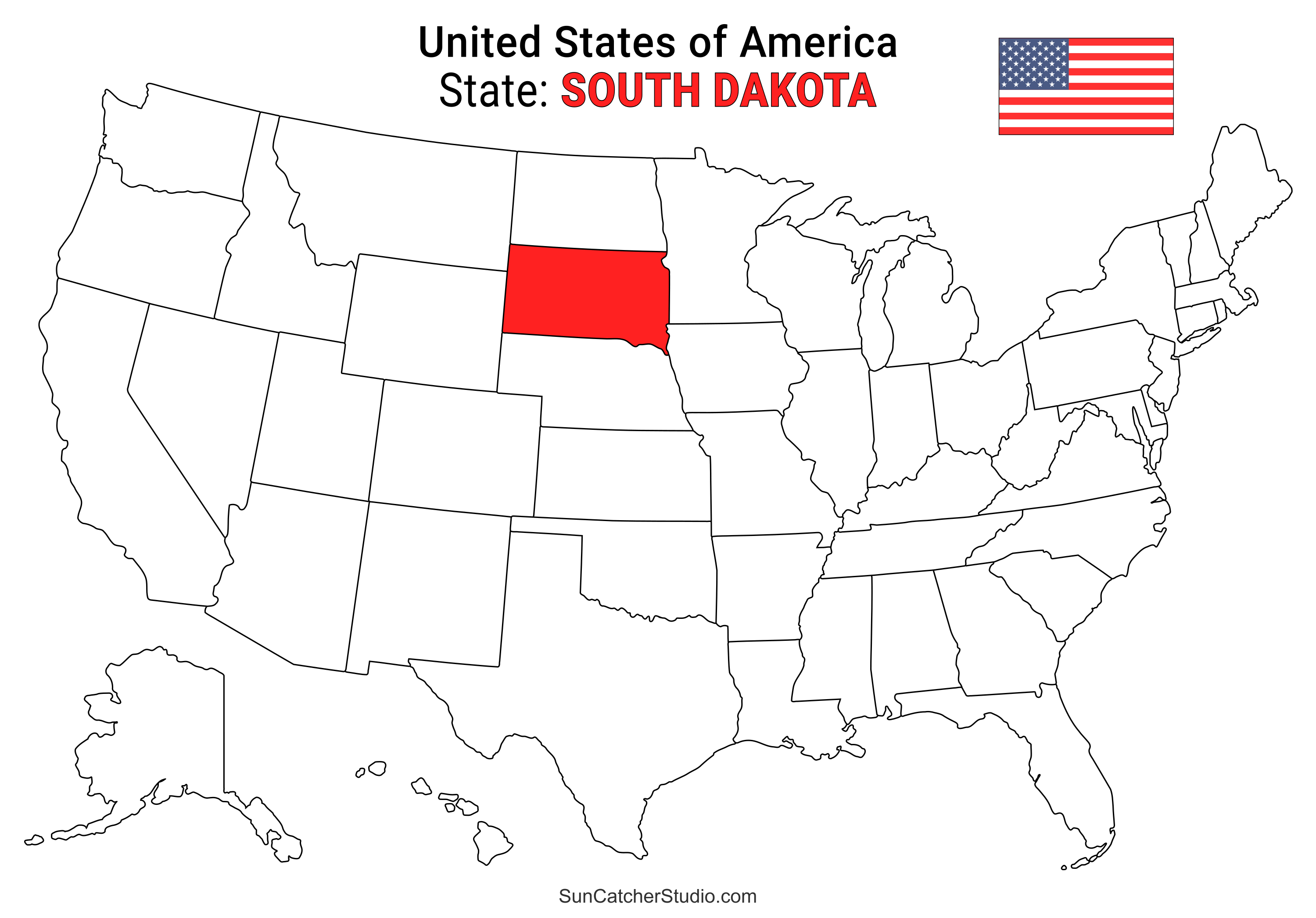
- South Dakota Location
- ○ PDF format
- ○ PNG format
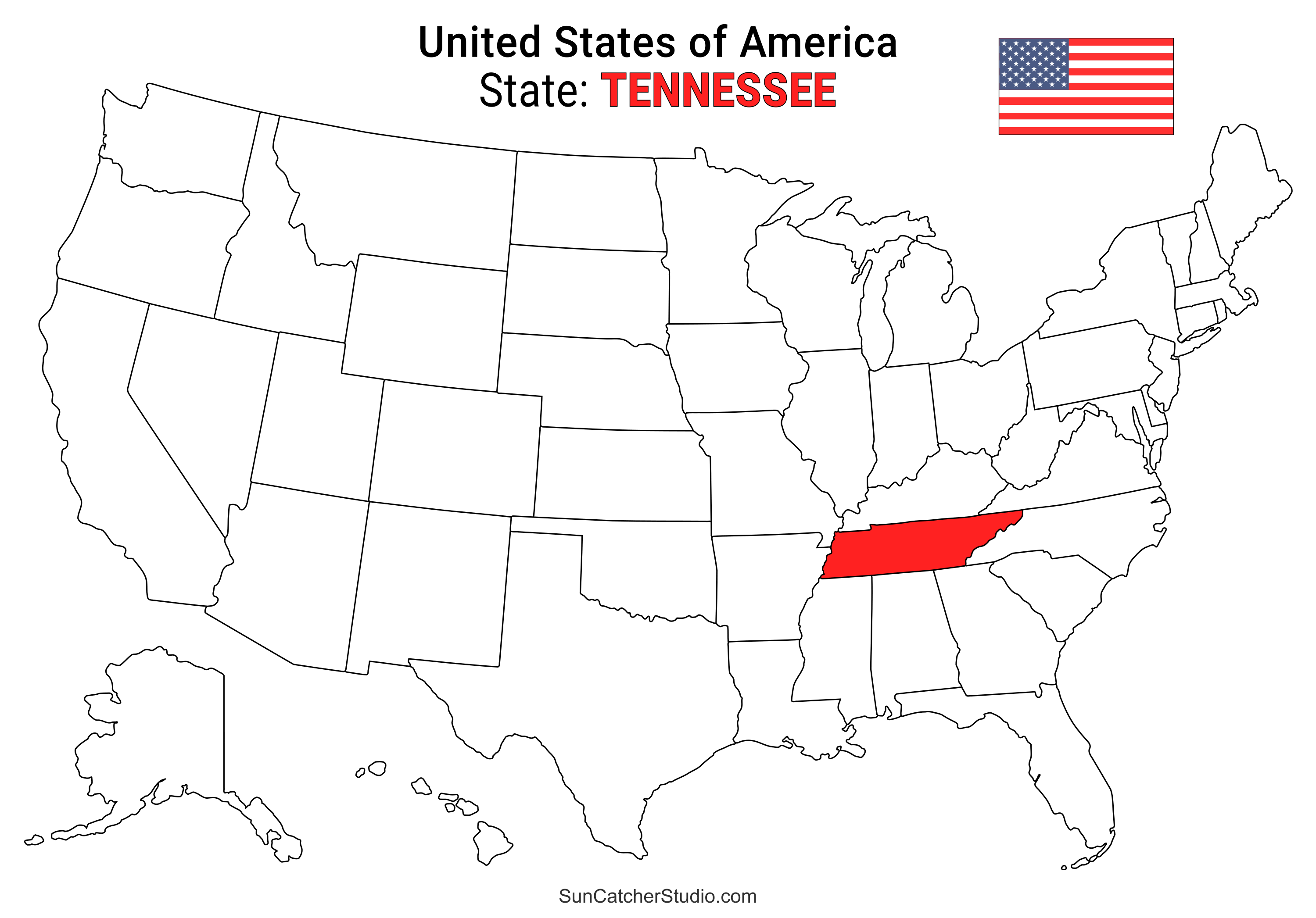
- Tennessee Location
- ○ PDF format
- ○ PNG format
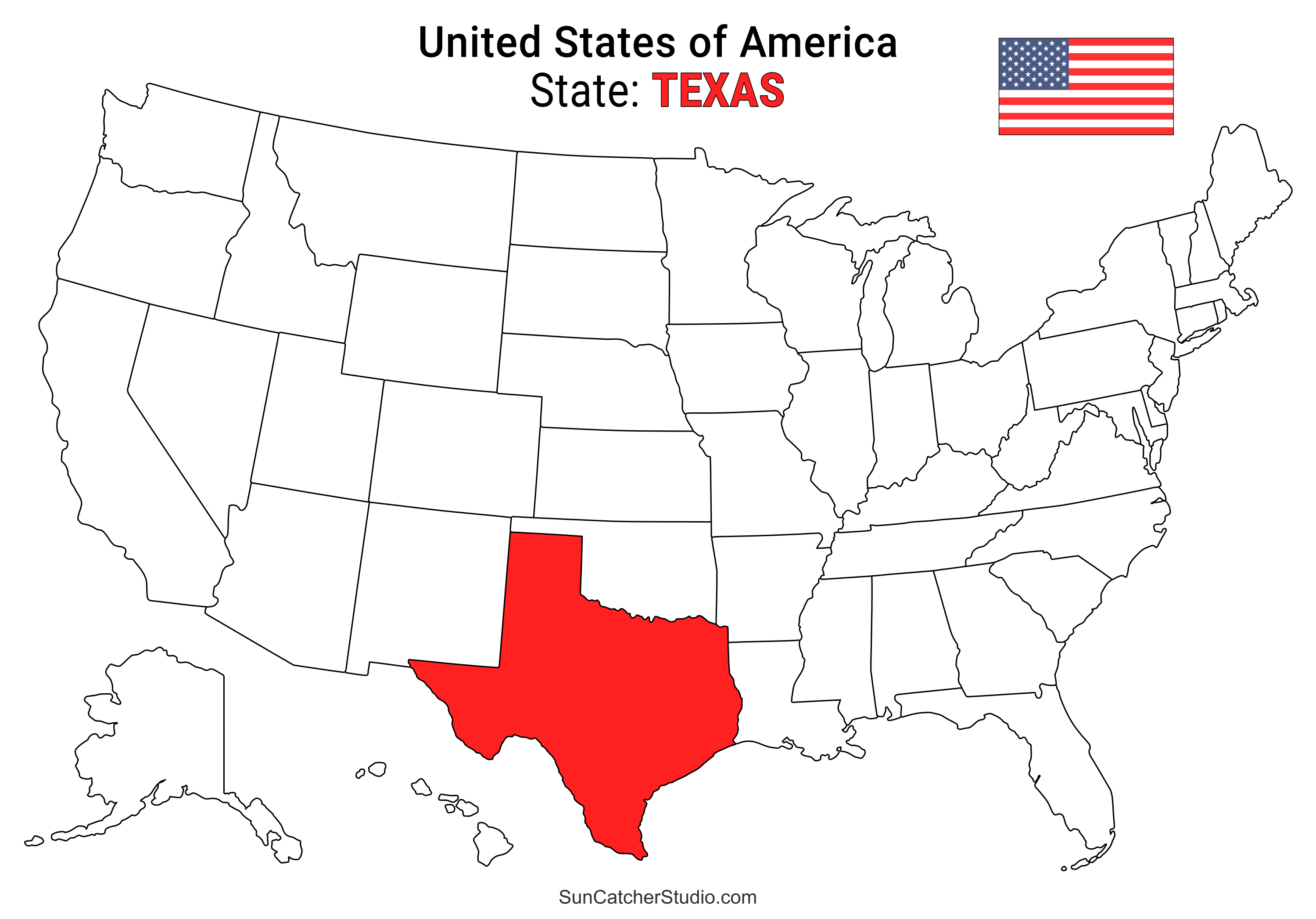
- Texas Location
- ○ PDF format
- ○ PNG format
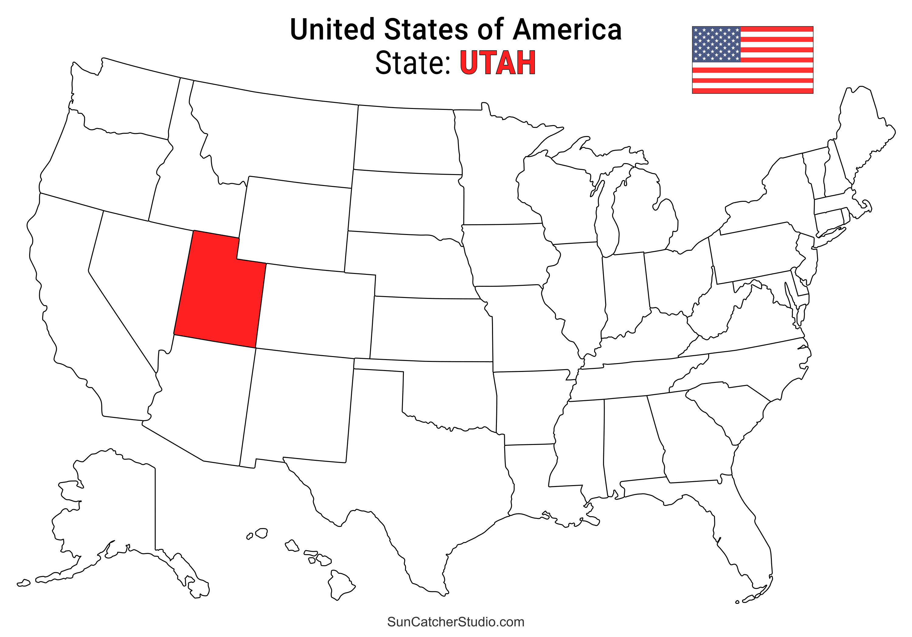
- Utah Location
- ○ PDF format
- ○ PNG format
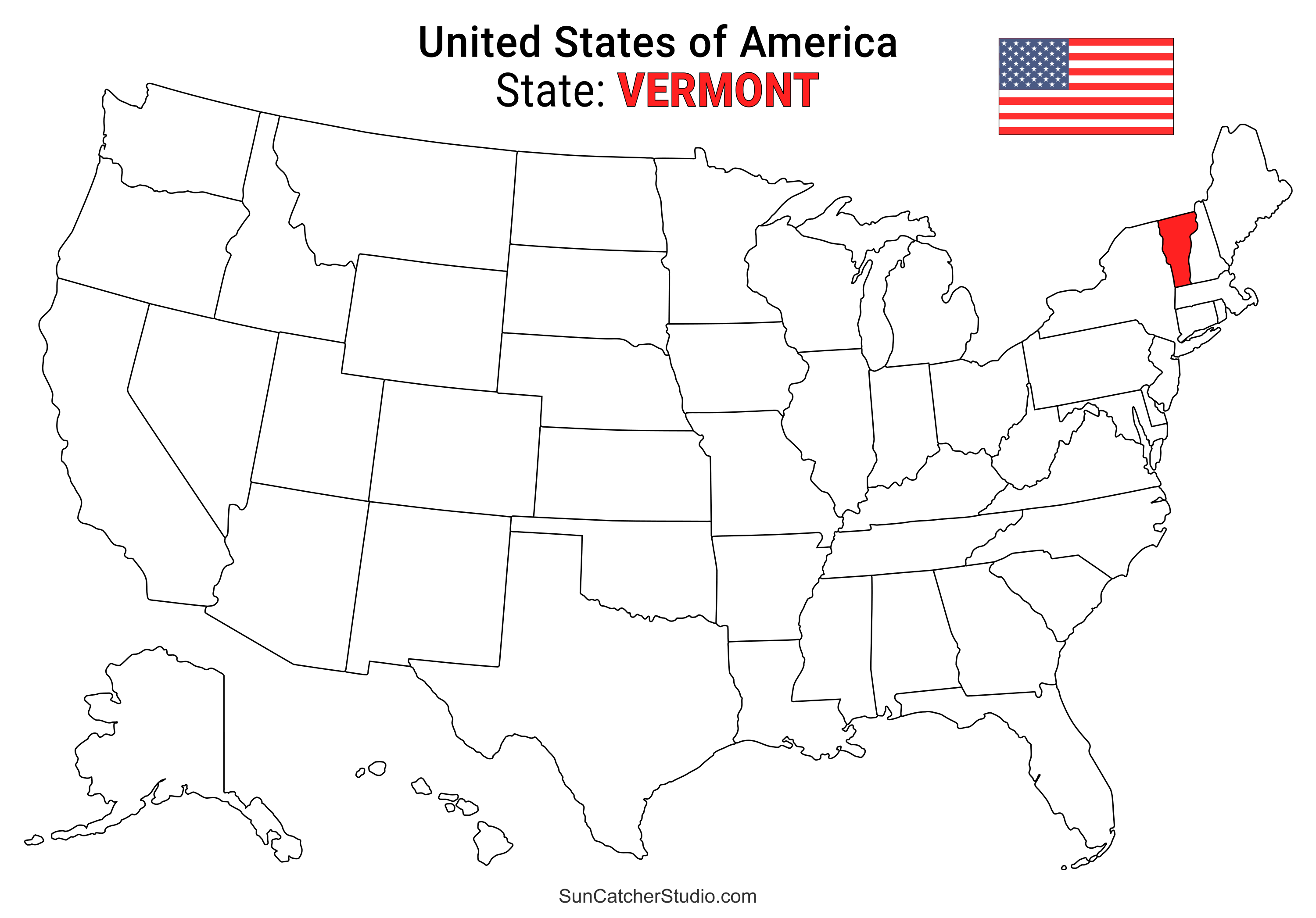
- Vermont Location
- ○ PDF format
- ○ PNG format
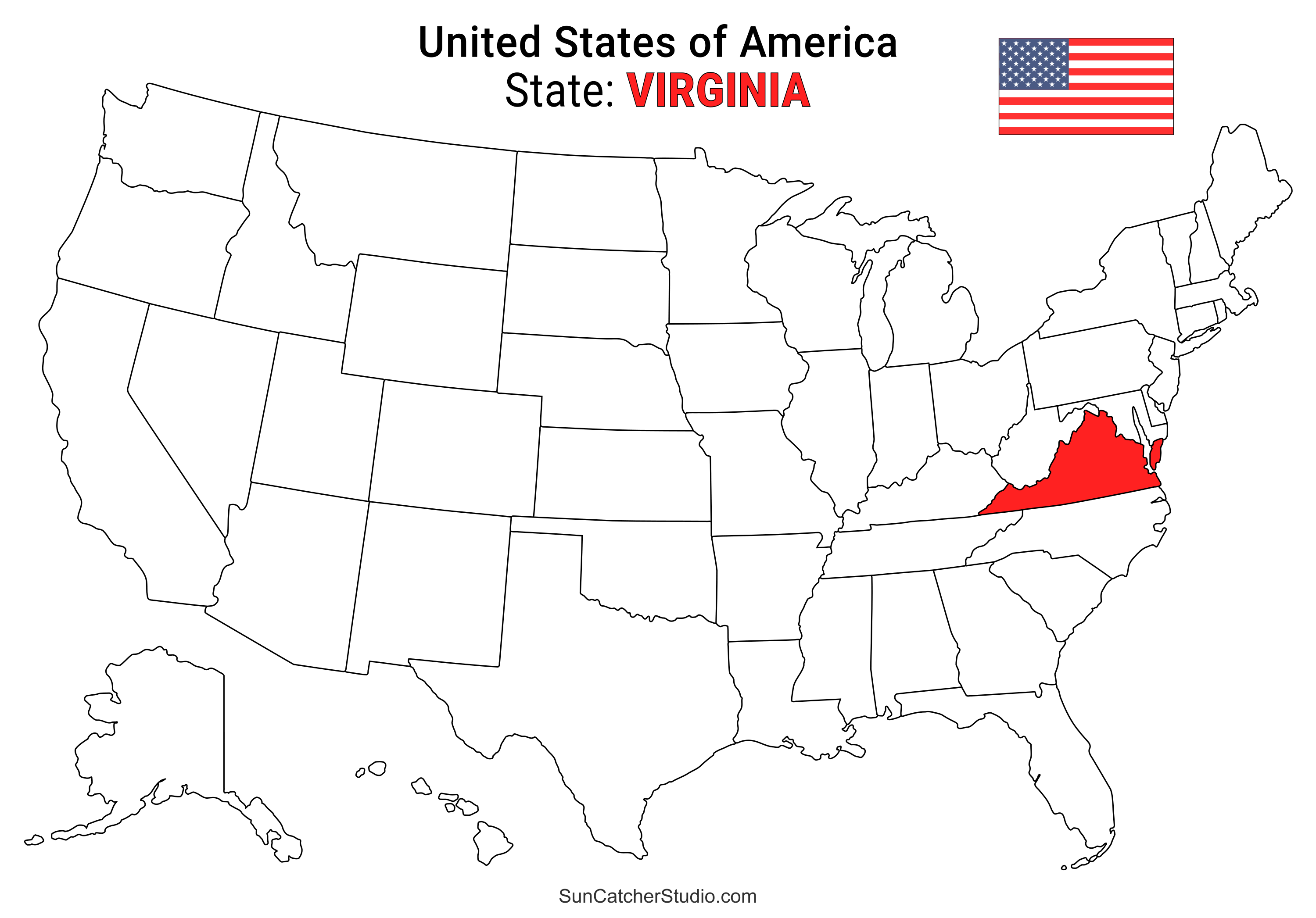
- Virginia Location
- ○ PDF format
- ○ PNG format
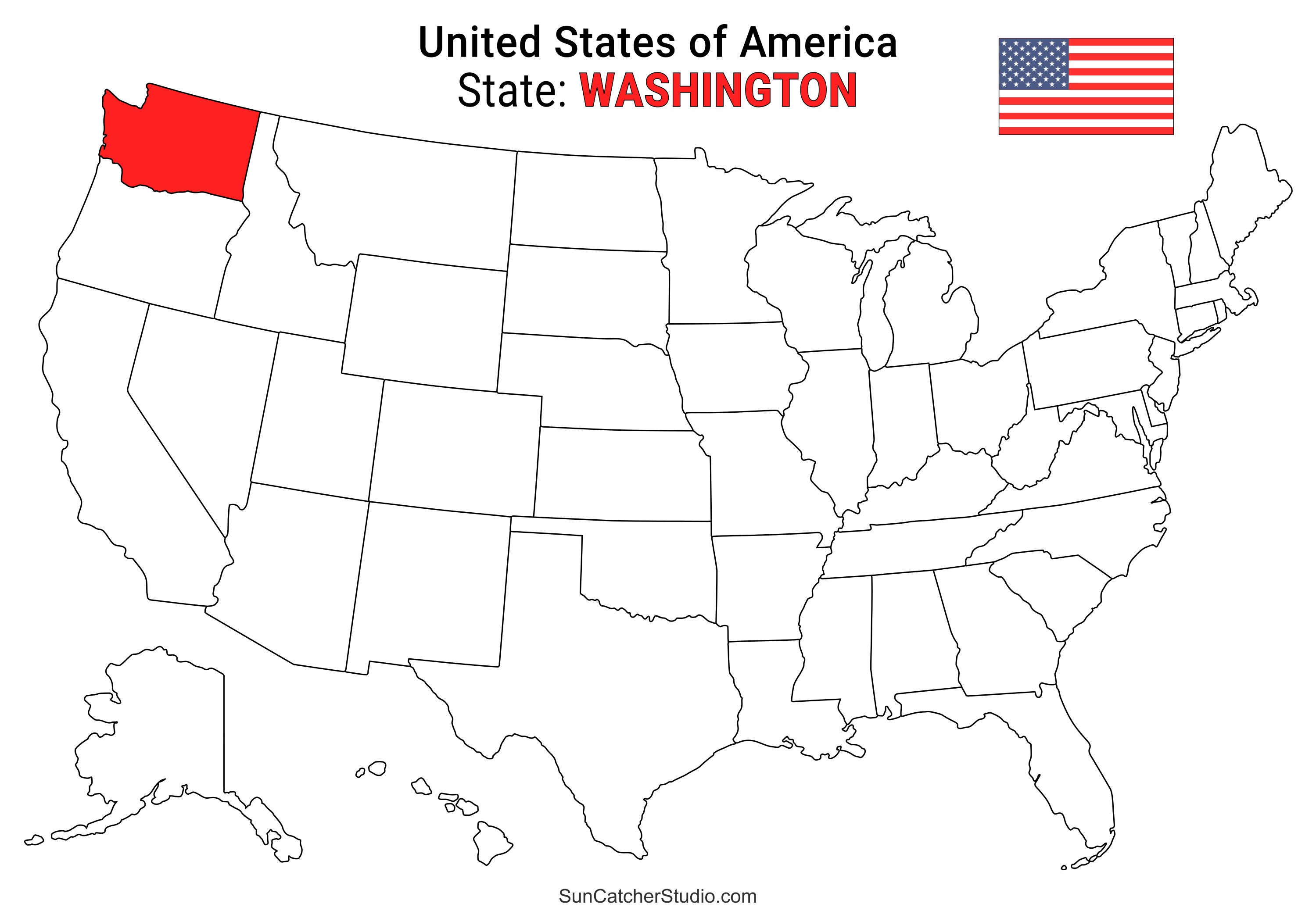
- Washington Location
- ○ PDF format
- ○ PNG format
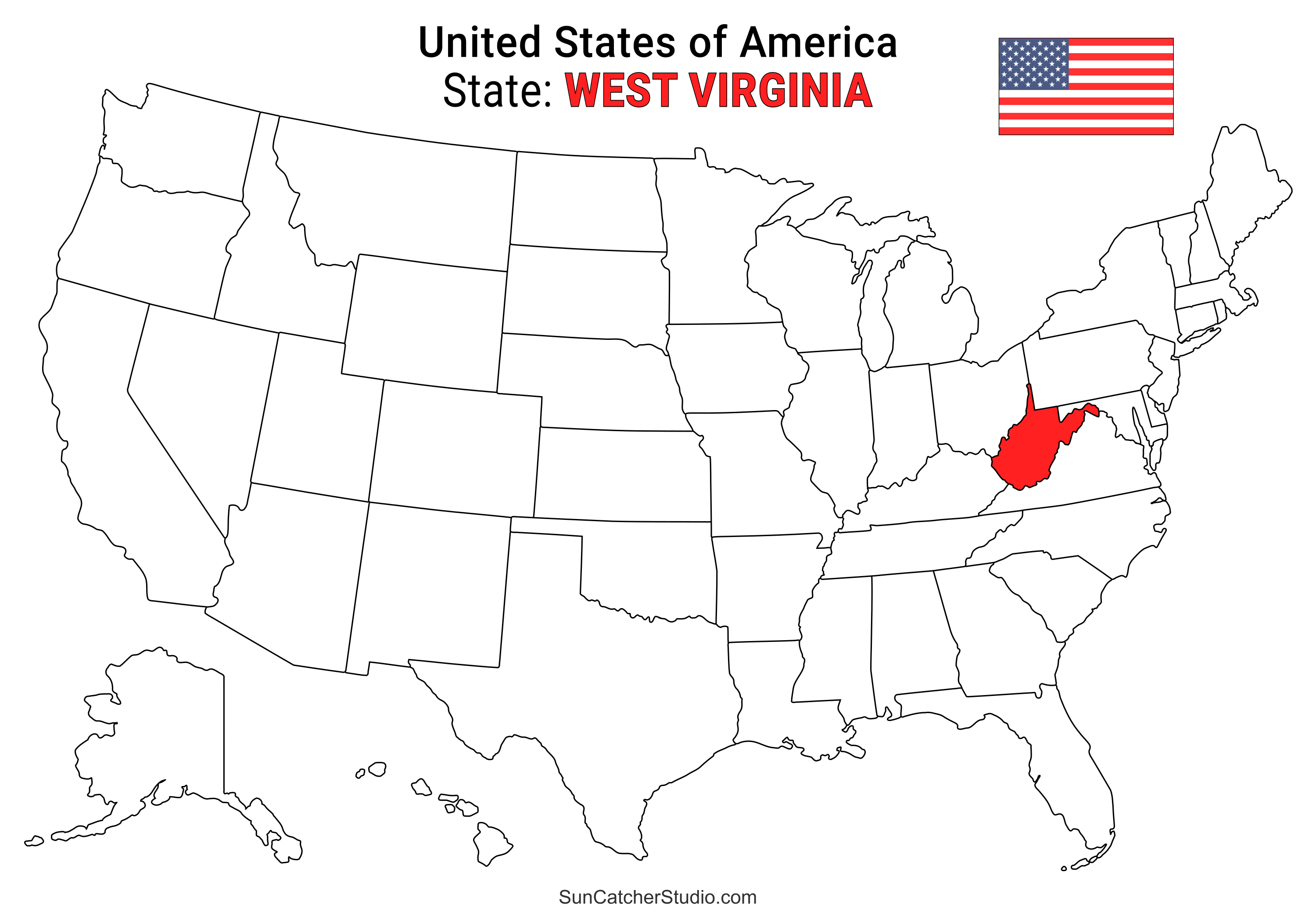
- West Virginia Location
- ○ PDF format
- ○ PNG format
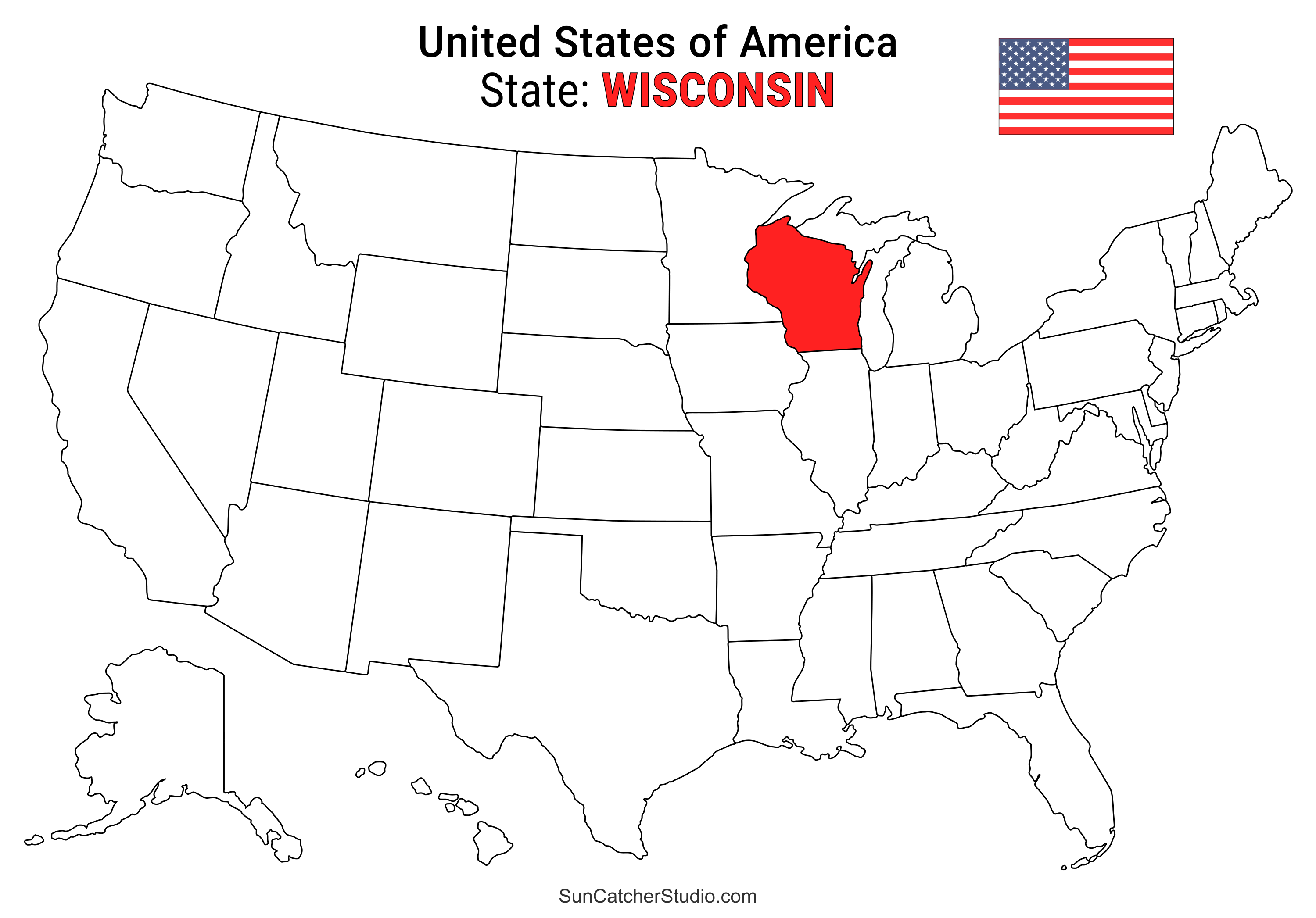
- Wisconsin Location
- ○ PDF format
- ○ PNG format
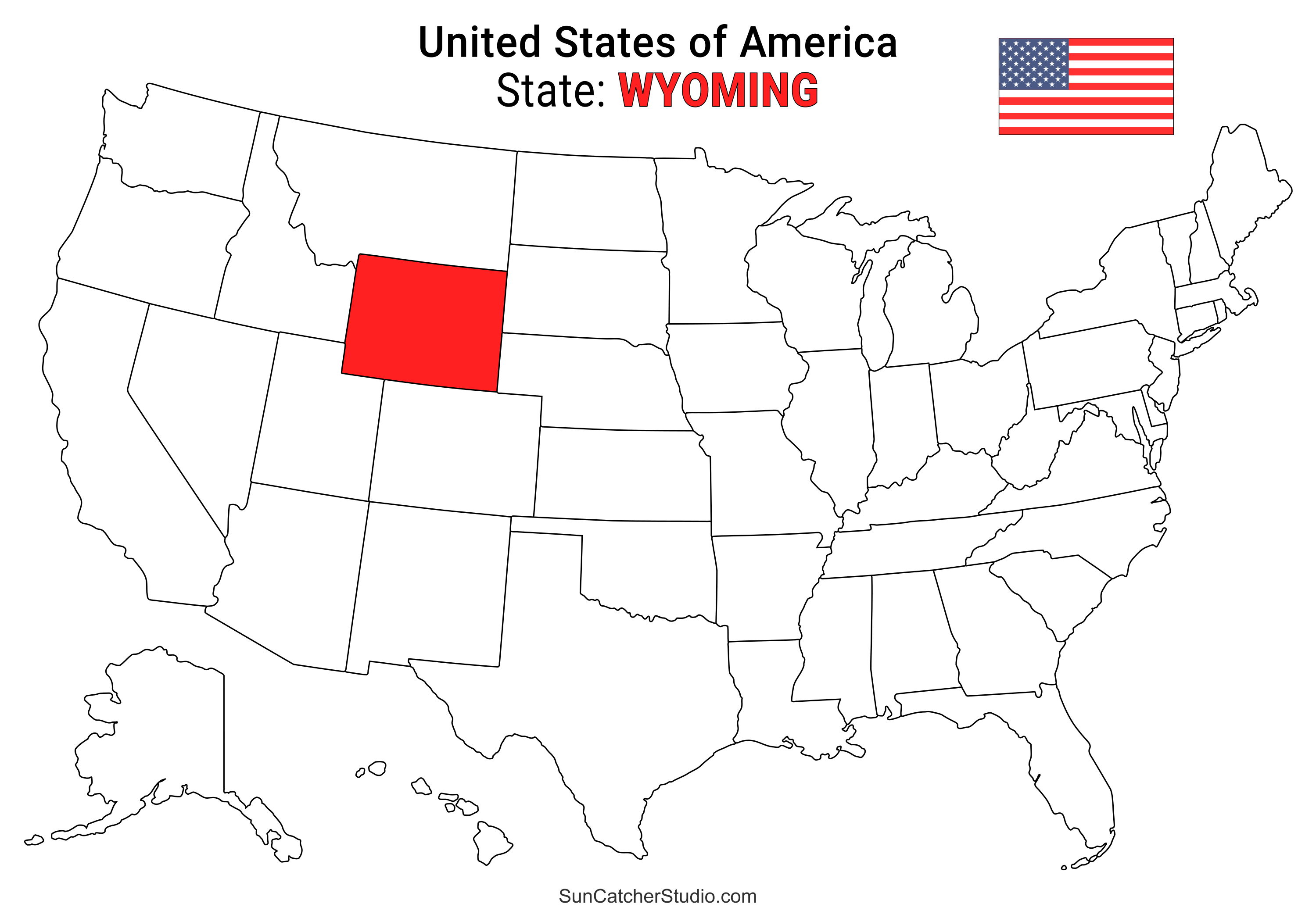
- Wyoming Location
- ○ PDF format
- ○ PNG format
These state map images can be used in a variety of educational, informational, and design contexts. They can be printed or downloaded in PNG, JPG, PDF, or SVG (Scalable Vector Graphics) format. Teachers and students can include them in geography lessons, classroom presentations, or study materials to visually identify each state’s position within the United States. Website owners and content creators can use them in blog posts, travel guides, or state profiles to help readers quickly understand geographic context, provided that SunCatcherStudio.com is clearly displayed. Businesses and organizations may also include the maps in marketing materials, infographics, or reports to visually represent state-by-state data, as long as SunCatcherStudio.com is visibly included with the images or maps.
Pin for later.
Pattern Uses and Types of Materials
You can use these patterns, stencils, templates, models, and shapes as a guide to make other objects or to transfer designs. Create personalized, custom projects for your home, for craft shows, for selling projects online, etc. These designs are great for coloring pages and coloring sheets, crochet patterns, drawing and painting, svg files for cricut and silhouette, svg cut files, hobbies, holiday crafts, iron-on designs, kid crafts, laser cutting, needlecrafts, preschool printables, quilting, sewing, scrapbooking, sign making, string art (nail art), wall art, wedding crafts, woodworking projects, and other DIY arts and crafts.Looking for More Patterns, Stencils, Designs?

Discover Cricut Designs or create a Family Name Sign.